
AI-powered site intelligence for real project decisions
How developers, EPC teams and asset owners use YelloSKYE to verify progress, survey land and inspect assets.
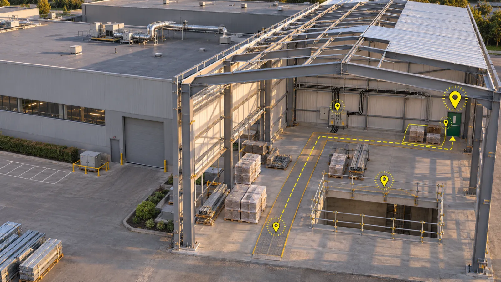
Safety Walk Checklist: Run the Daily Walk With a Record and a Sign-Off
A safety walk checklist in DEX ties each finding to a place and a photo, marks a missed walk overdue, and sends every walk to a reviewer for sign-off.
- Record Per Walk
- 1
- Min read
- 5
A Construction AI Assistant for the Weekly Review: Ask the Project, Then Check the Answer
Ask DEX answers the weekly review's routine questions from your own project's records, as text, tables or files you can check before relying on them.

Facade Inspection From a Desk
Read a facade finding against the elevation drawing, measure it and compare capture dates in DEX, before anyone books a cradle or a rope-access team.
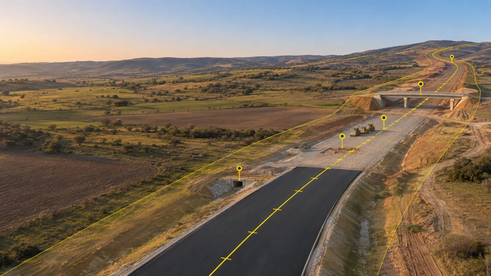
Drone Evidence Records for Infrastructure Programme Owners
How owners and programme managers on highway, bridge, rail, metro and water schemes use scheduled drone captures as an agreed evidence record for milestone payments, multi-package contractor oversight and compliance reporting.
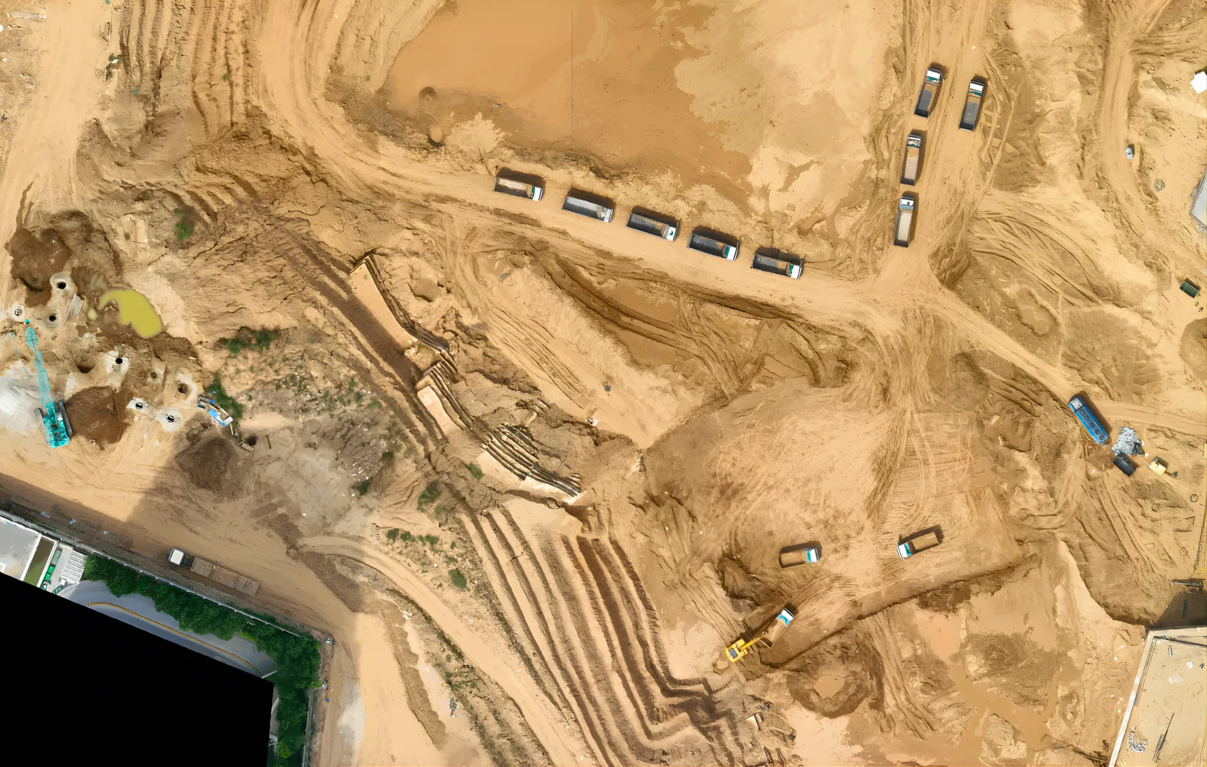
Drone Surveys for Active Mines and Quarries: Volumes, Benches and Lease Compliance
Stockpile and pit volumes, bench and haul-road condition and lease-boundary checks for operating open-pit mines and quarries, captured without stopping production or sending surveyors into active zones.
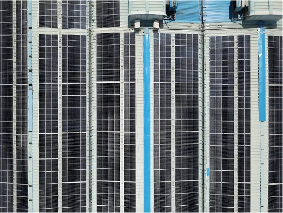
Drone Inspection for Transmission Lines and Substations
Visual and thermal drone inspection of towers, conductors, rights of way and substations for utilities and grid operators, with fewer climbs and outage windows.
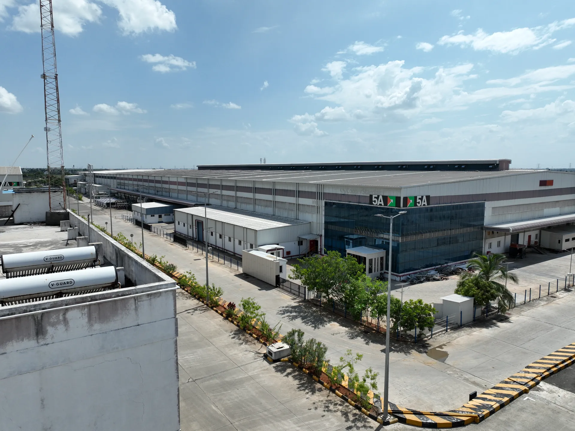
Drone Condition Surveys for Operating Warehouses and Logistics Parks
Repeatable drone surveys of roofs, cladding, high-bay racking zones, yards and drainage at working warehouses, for insurance renewals and maintenance planning without stopping operations.
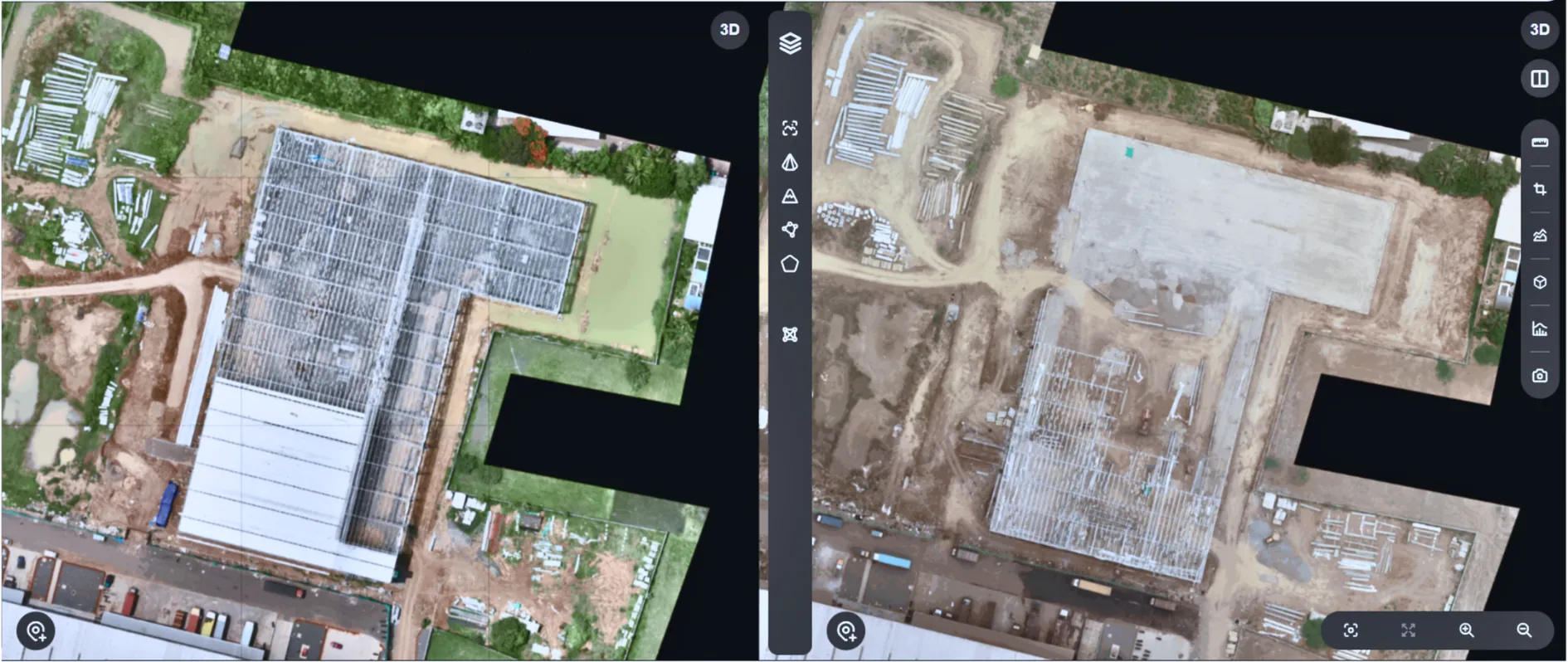
One Evidence Standard for Developers Running Multiple Projects
How developers and owners set one evidence standard across every site, hold every contractor to the same record, and report to investors and lenders from verified drone, camera and 360° captures.
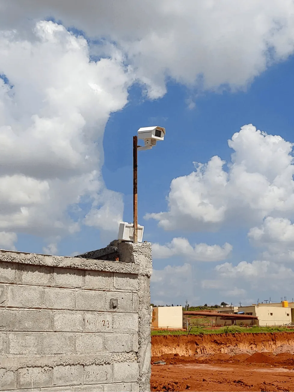
Fixed-Camera Construction Monitoring for Continuous Site Visibility
Maintain a continuous, timestamped view of site activity between scheduled aerial captures, giving project teams one dependable visual record for reviews, reporting, and milestone decisions.
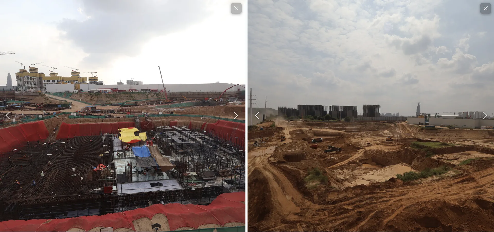
Always On, Always Visible: 24/7 Fixed Camera Monitoring for Warehouses and Industrial Facilities
Logistics park operators and facility managers are commanding full floor visibility without stepping on site. Discover how DEX fixed camera monitoring delivers continuous, real-time site intelligence across industrial facilities.
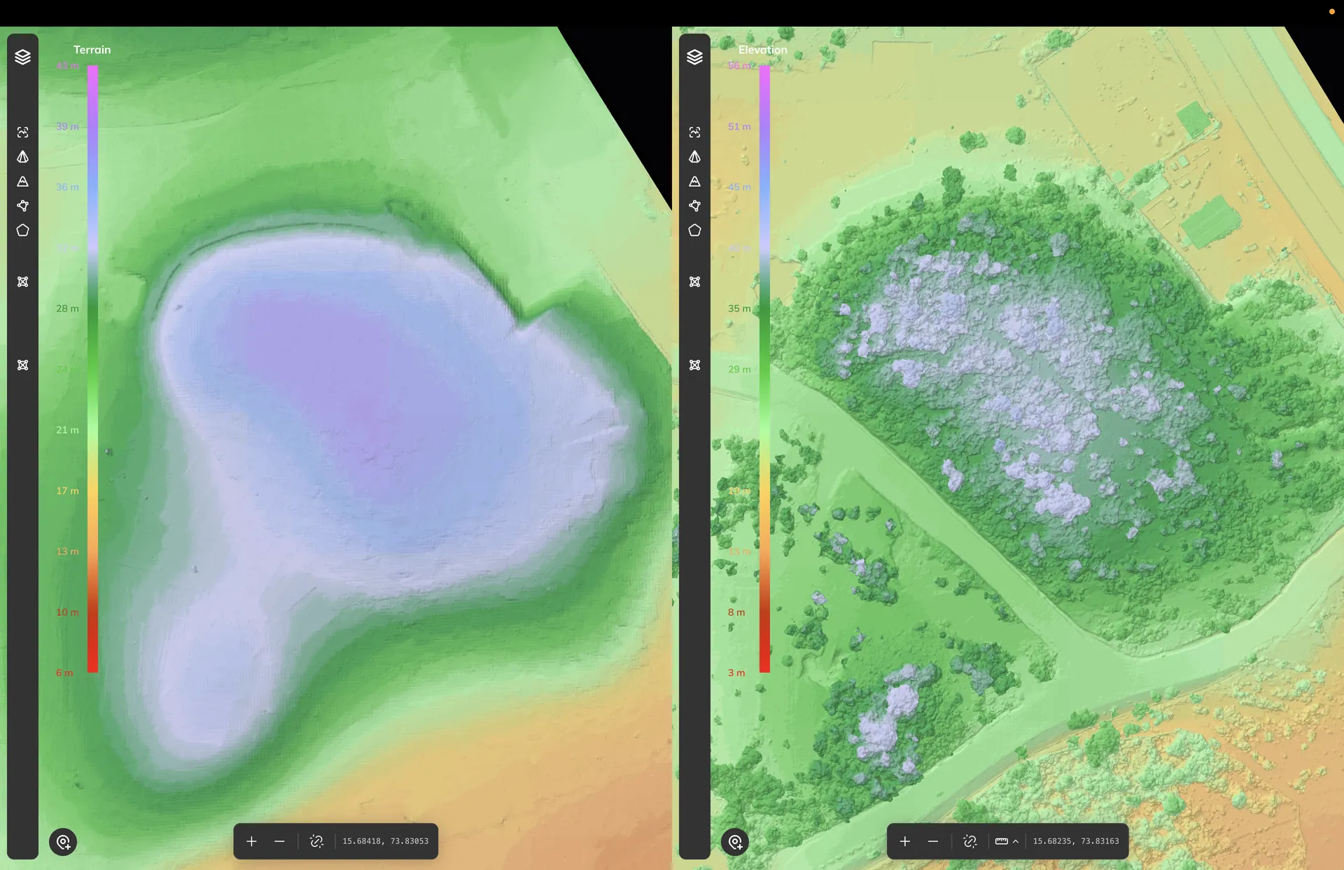
Drone Land Survey for Land Acquisition: Boundaries, Terrain and Feasibility Before You Buy
One drone mobilisation gives developers verified boundaries, usable acreage, terrain, flood risk and cut/fill estimates before capital is committed to a land deal.
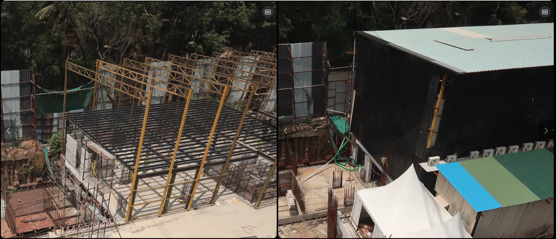
Construction Time-Lapse Monitoring for Verified Project Milestones
How project teams use fixed camera time-lapse monitoring to document construction milestones, strengthen stakeholder reporting, and maintain a verified visual record from start to handover.
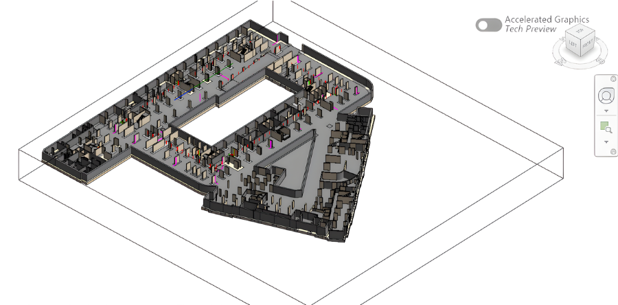
Scan to BIM for Renovation Projects: Turning Existing Buildings into Design-Ready Models
How asset owners, architects, and engineering teams use BIM IQ laser scanning to convert existing buildings into accurate as-built BIM models before renovation, retrofit, or space reconfiguration begins.
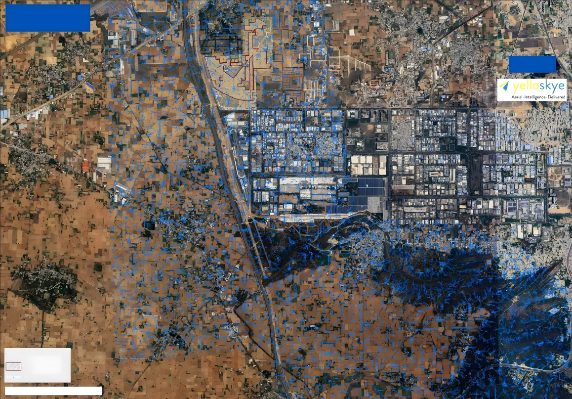
Drone Survey for Flood Risk Mapping and Drainage Planning
How developers and planning teams use Survey IQ terrain models and water flow simulation to map flood risk and plan drainage before land is acquired or layouts are locked.
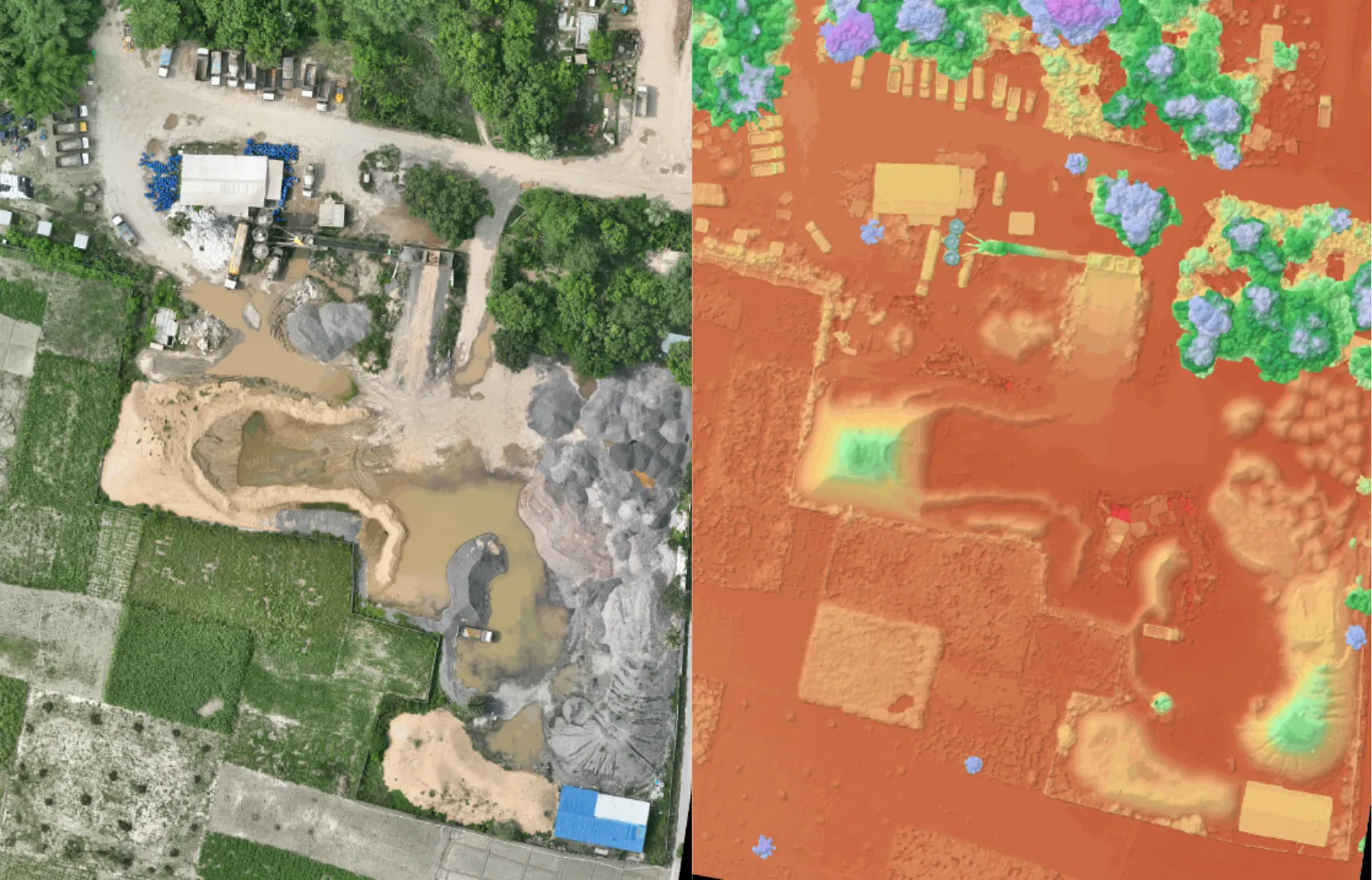
Ground Truth Before Ground Break: Terrain-Based Design Validation with Drone Survey Data
Before a single machine is mobilised, elite planning teams verify their CAD layouts against drone-surveyed terrain. Discover how Survey IQ delivers design confidence before construction begins.
Streamlining Facility Delivery with Digital Handover Documentation
Ensure a seamless transition. How industrial developers utilize the DEX platform to compile complete visual archives that drop operator handover disputes to zero.
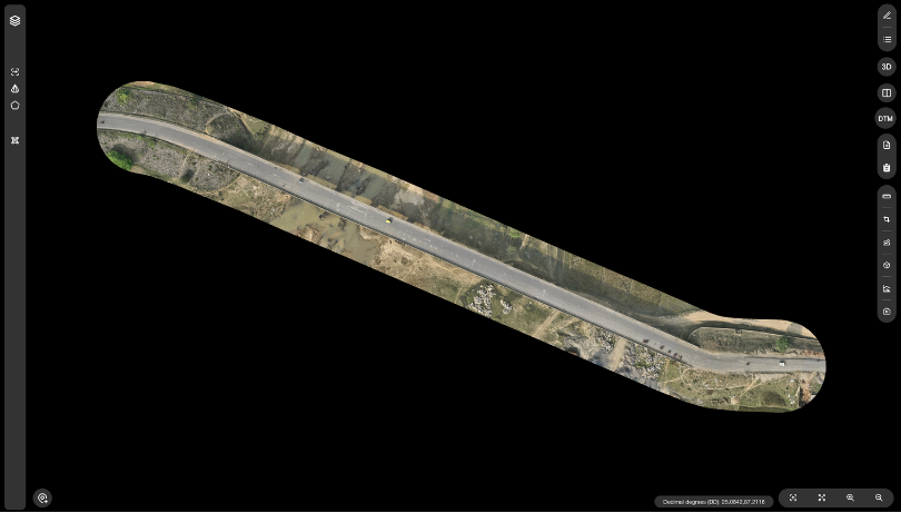
Securing the Line: Drone-Driven Linear Corridor Mapping and RoW Intelligence
Command your corridor. Discover how infrastructure developers use advanced aerial mapping to track right-of-way clearings and verify progress across hundreds of kilometers.
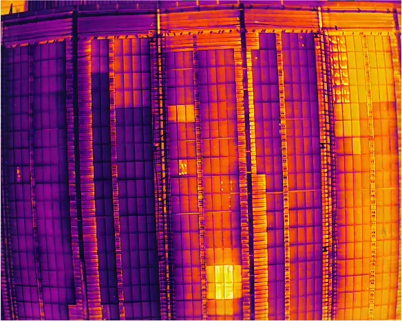
Optimizing Solar Asset Yield with Thermal Drone Inspections
Eliminate revenue leakage. How O&M Directors use Inspect IQ to instantly detect panel anomalies across massive solar arrays and cut inspection costs by 75%.
Resolving Contractor Billing Disputes with Verified Visual Ground Truth
Stop approving payment claims based on subjective updates. How Project Managers are using aerial site intelligence to pay only for indisputable, verified progress.
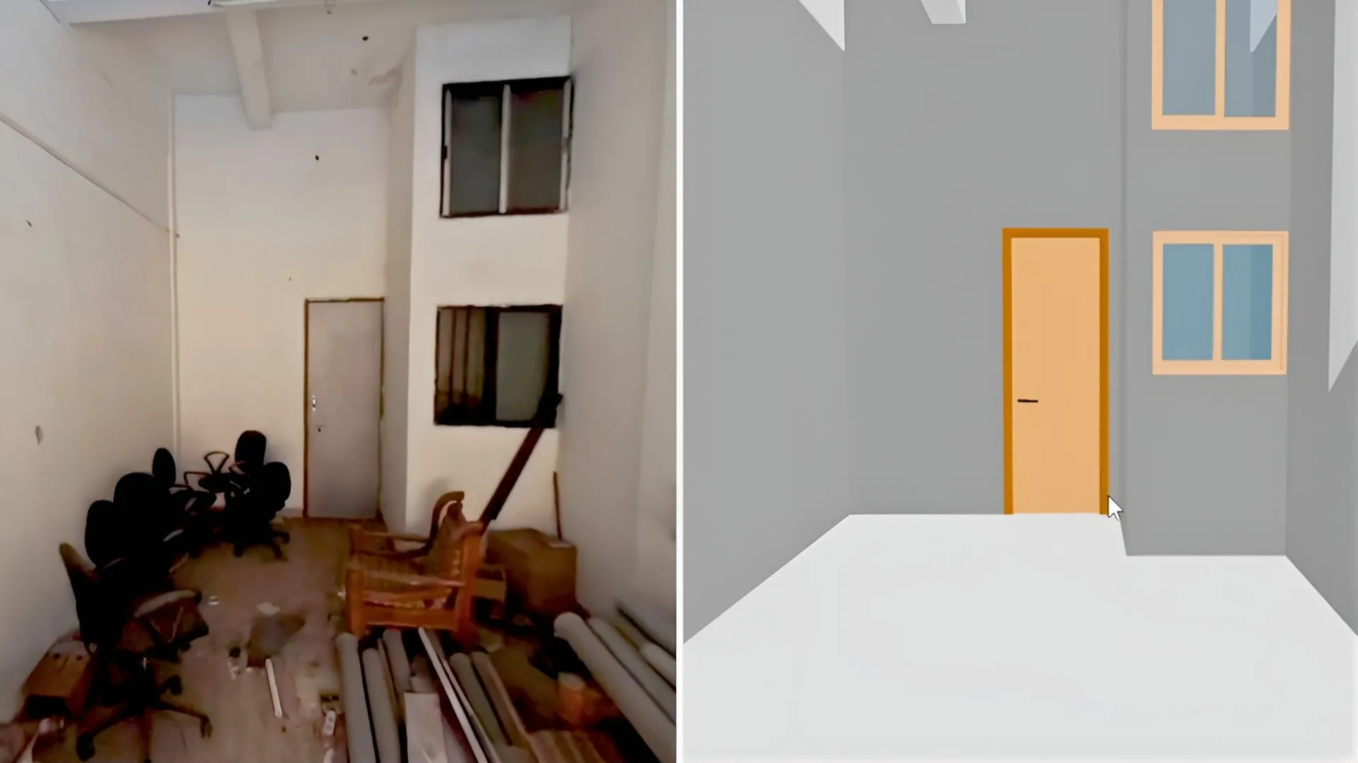
Bridging the Reality Gap: Millimeter-Accurate As-Built vs. BIM Clash Detection
How structural engineers use terrestrial laser scanning to catch costly deviations before the concrete cures, eliminating millions in downstream rework.
The End of Scaffolding: AI-Powered Drone Asset Inspections
Why Facility Managers are replacing dangerous rope access and expensive scaffolding with automated drone and thermal intelligence.
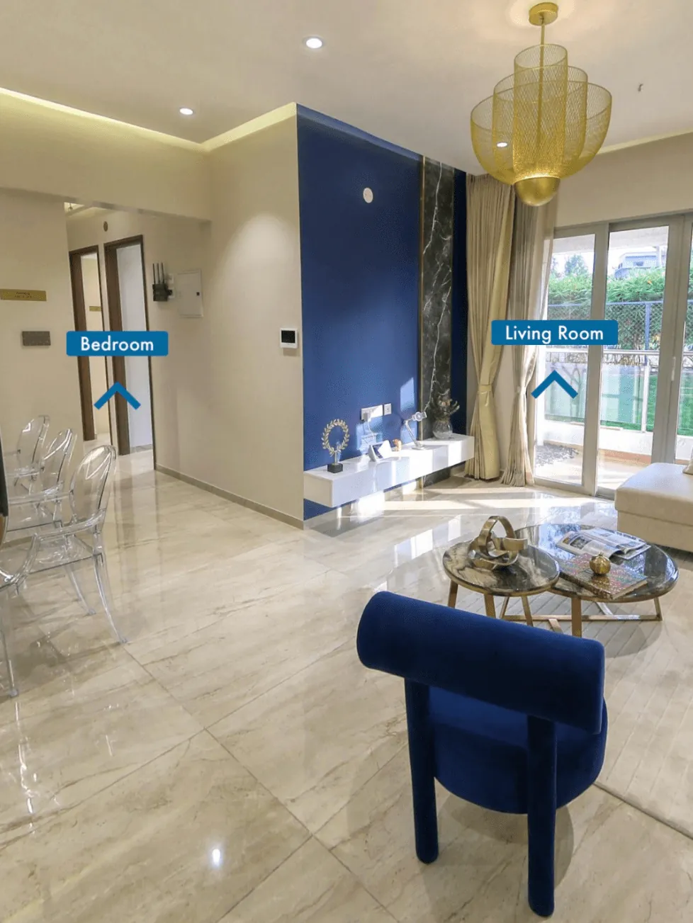
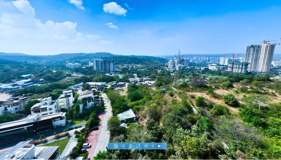
Elevating Pre-Sales Property Marketing with View-from-Floor Drone Panospheres
Discover how luxury real estate developers use view-from-floor drone shots and interactive digital twins to accelerate pre-construction sales and justify premium pricing.
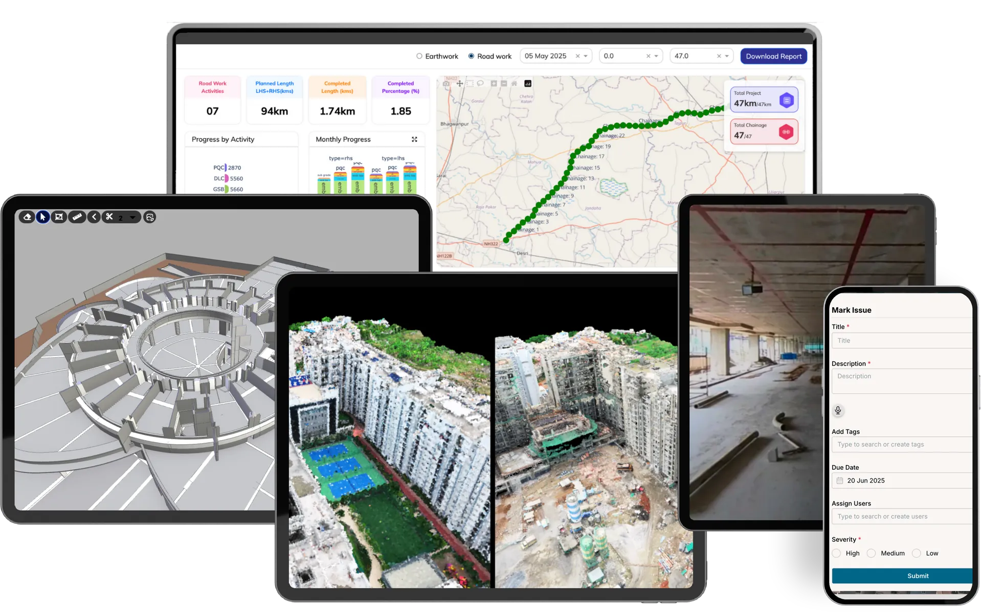
The Multi-Site Blind Spot: Standardizing Ground Truth Across a Portfolio
How Managing Directors are killing the weekly reporting silo, centralizing 10+ sites into one unified Digital Twin dashboard.
Ending the Dirt Dispute: How Automated Volumetrics Protect Margins
Why leading EPCs are replacing slow manual surveys with drone-based cut-and-fill analytics to eliminate contractor billing disputes.
How High-Resolution Aerial Progress Capture Eliminates Site Blind Spots
Replacing fragmented ground photos with 100% remote visibility, saving site managers 15+ hours weekly and eliminating billing disputes.
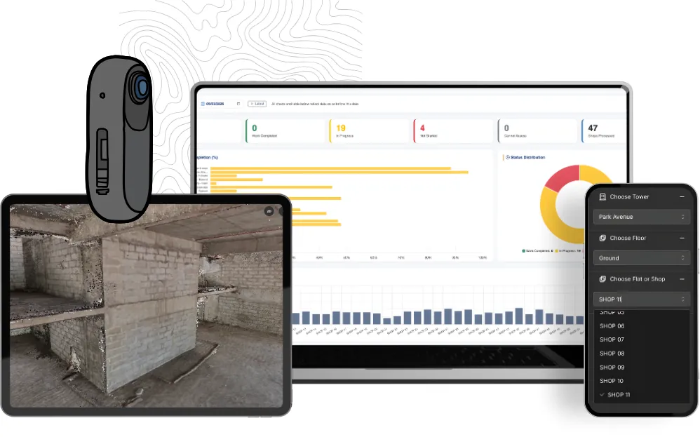
Beyond the Site Visit: How Digital Twins are Transforming Interior Fit-Outs
How leading developers are replacing fragmented progress reports with navigable, 360° digital twins to accelerate handovers and eliminate site blind spots.



