
Key takeaways
- The Context: Pre-acquisition due diligence for residential, commercial and mixed-use land, where usable acreage, legal boundaries, terrain, drainage and earthwork cost decide whether a parcel is worth buying.
- The Solution: A single Survey IQ drone mobilisation that delivers boundary verification, orthomosaic maps, DEM/DTM terrain models, LULC classification, water flow simulation and preliminary cut/fill estimates.
- The ROI: Due diligence completed 5× faster than a conventional ground survey, with a verified feasibility dataset in hand before the sale agreement is signed.
Buying Land on Verified Ground
Land acquisition is the most irreversible decision in real estate development. Once the agreement is signed, every characteristic of the parcel becomes the developer's problem: its true usable area, its boundaries, how water moves across it in heavy rain, and what it will cost to prepare.
The most disciplined developers and EPC planning teams are moving the feasibility decision earlier. Instead of relying on broker estimates, old cadastral sheets and legacy topographic maps, they arrive at the negotiating table with drone land survey data: centimetre-resolution terrain models that show how much of the land is buildable, where the boundaries really sit, and what site preparation will cost.
That is the standard Survey IQ is built for. One drone mobilisation across a parcel of hundreds of acres produces the complete due diligence dataset in days, not the weeks a manual survey team needs.
What a Pre-Acquisition Drone Survey Delivers
| Output | What It Shows | Acquisition Decision It Supports |
|---|---|---|
| Orthomosaic with cadastral overlay | True-to-scale site map with legal boundary coordinates laid on top | Confirms usable acreage, exact perimeter and any encroachments |
| DEM / DTM terrain model | Surface and bare-earth elevation across the parcel | Slope, contours and buildability before design begins |
| LULC classification | Buildable, vegetated, water-body and encumbered zones | Realistic developable area for the financial model |
| Water flow simulation | Drainage paths and flood-prone zones under rainfall | Storm-water exposure and drainage cost before purchase |
| Preliminary cut/fill estimate | Earthwork volumes against proposed finished levels | Site-preparation budget and BOQ framing |
The Survey IQ Due Diligence Workflow
Step 1 — Site Mobilisation and Aerial Capture
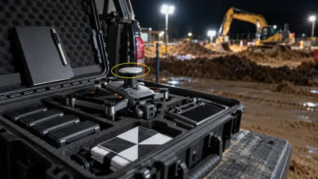
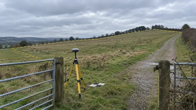
A Survey IQ drone flies automated grids across the target parcel in a single mobilisation, capturing geo-tagged imagery at centimetre-level GSD across dense vegetation, varied elevations and complex boundaries. Ground control points are placed for survey-grade accuracy; no other ground infrastructure is needed.
Step 2 — Boundary Verification
The imagery is processed into an orthomosaic in the DEX platform, and legal boundary coordinates are overlaid directly onto it. The acquisition team sees the exact perimeter, confirms usable acreage against broker claims, and flags any encroachment before the deal moves forward.
Step 3 — Terrain Model Generation
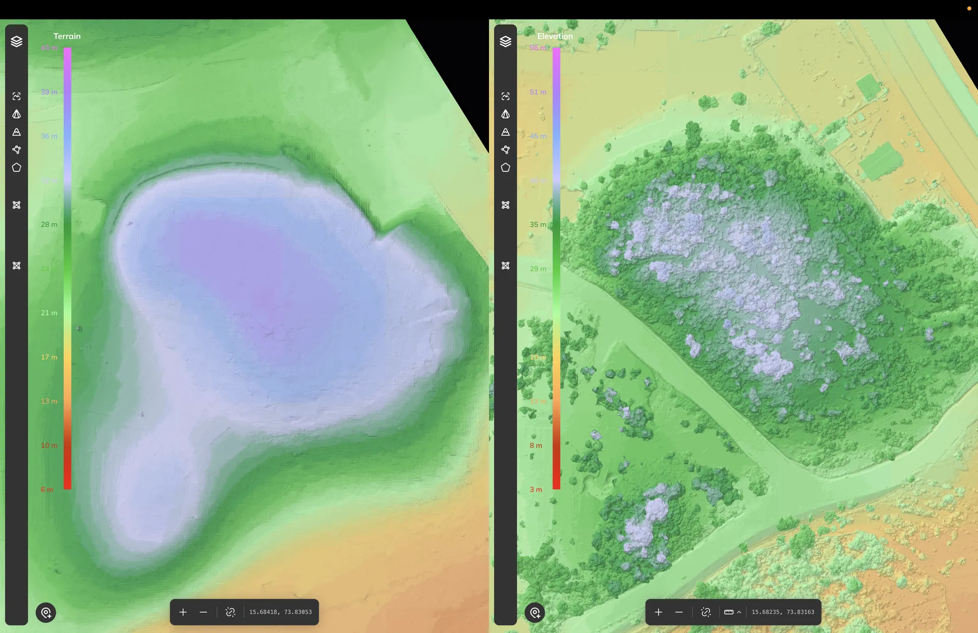
The same capture produces DEM and DTM terrain models with contour lines, slope analysis and elevation profiles: the baseline every later feasibility output is built on.
Step 4 — LULC Classification
Land Use Land Cover analysis classifies the parcel into buildable, vegetated, water-body and encumbered zones, so the developable area in the financial model reflects the ground rather than the brochure.
Step 5 — Water Flow Simulation and Flood Risk Mapping
A water flow simulation on the DTM traces natural drainage paths under rainfall and identifies flood-prone zones and drainage concentration points. For parcels where drainage drives viability, see our deeper look at drone surveys for flood risk and drainage planning.
Step 6 — Preliminary Cut/Fill Estimation
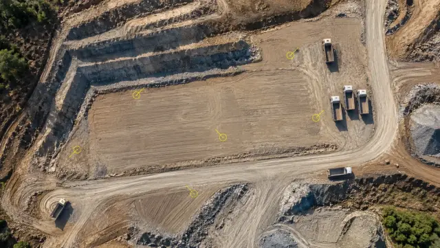
Using the terrain model as a baseline, Survey IQ generates a preliminary cut/fill estimate against proposed finished floor levels. The planning team gets a defensible earthwork cost indicator before any detailed engineering is commissioned.
Driving Predictability in Land Acquisition
-
Negotiate with evidence, not estimates: A verified boundary and acreage record lets leadership test broker claims and negotiate parcel value from a position of strength.
-
Due diligence at the speed of the deal: Survey IQ completes the drone land survey and terrain model generation 5× faster than conventional ground survey, so the full feasibility dataset arrives before the acquisition timeline forces a decision.
-
Drainage and earthwork costs known before capital is committed: Flood exposure and cut/fill volumes are identified at feasibility stage, preventing scope surprises during detailed design or site preparation.
-
A terrain baseline that carries through the project: The data exports directly into CAD and GIS platforms. After purchase, the same terrain model supports design validation against CAD layouts, cut/fill analytics during earthwork, and as-built comparison at handover, so the pre-acquisition survey compounds in value across the project.
Ready to see this on your next acquisition?
Book a 15-minute Survey IQ walkthrough and see how a single drone mobilisation delivers boundary verification, terrain feasibility, flood risk mapping and preliminary cut/fill estimates before you buy.