
Key takeaways
- The Context: Pre-construction design validation for land development projects — residential, commercial, and infrastructure — where terrain accuracy determines layout viability before mobilisation.
- The Solution: Deploying Survey IQ drone topographic surveys to generate georeferenced orthomosaic maps and DEM/DTM terrain models, enabling full CAD overlay on real-world ground data.
- The ROI: Achieving 100% site terrain verification before design lock-in, surfacing boundary encroachments and layout misalignments at the planning stage, and confirming earthwork volume assumptions before construction commitment.
Designing on Verified Ground
The most consequential design decisions on any land development project are made before a single machine is mobilised. Elite planning teams have upgraded the standard: instead of committing to CAD layouts built on legacy topo sheets, they validate every alignment, level, and boundary against drone-surveyed terrain data before construction begins.
When a drone-captured DEM/DTM forms the base layer for design validation, civil engineers and GIS analysts work with the actual ground — not an approximation of it. Encroachments, level mismatches, and alignment deviations that would otherwise surface mid-construction are identified and resolved at the planning stage, when corrections are still low-cost decisions. YelloSKYE's Survey IQ delivers this terrain clarity from a single mobilisation, producing the spatial data foundation that design-stage decision making demands.
Spatial Intelligence for Pre-Construction Planning
Forward-thinking planning heads and EPC teams are deploying Survey IQ to establish verified terrain intelligence before design lock-in. A single drone flight mission produces the full data stack — orthomosaic, DEM, and DTM — georeferenced and ready for spatial alignment against CAD layouts.
The Design Validation Workflow:
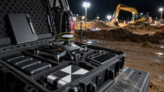
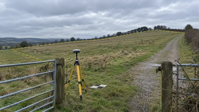
- Full-Site Drone Topographic Survey: Survey IQ executes a calibrated drone flight mission across the land parcel, capturing overlapping high-resolution imagery with embedded GPS positioning. Complete site coverage is achieved in a single mobilisation, producing a spatially consistent dataset across the entire area under evaluation — terrain variation, natural features, and existing structures included.
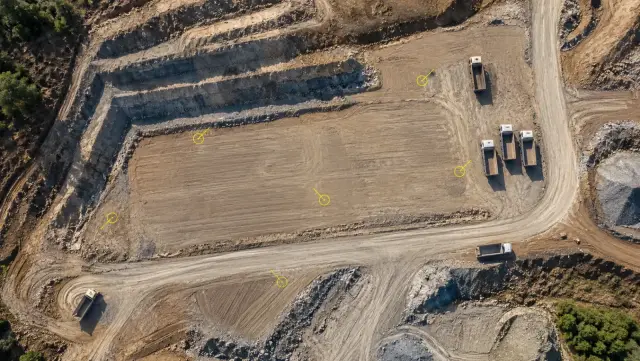
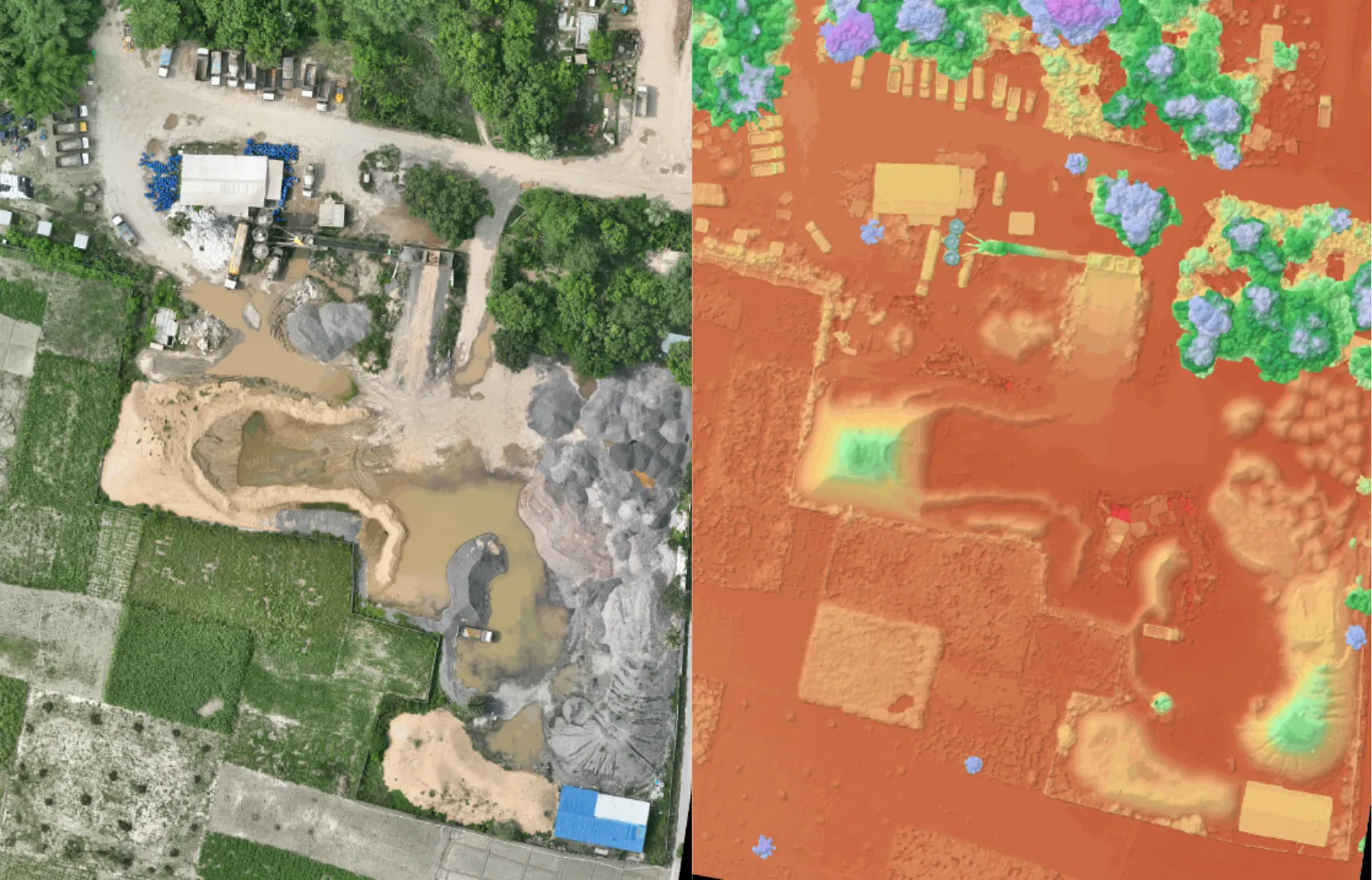
- Orthomosaic and DEM/DTM Generation: Captured imagery is processed into a georeferenced orthomosaic map and a full DEM/DTM terrain model. The orthomosaic delivers a true-to-scale, planimetrically correct top-down view of the site. The terrain model encodes elevation data at every point — giving engineers a three-dimensional picture of the ground they are designing on.
- CAD Spatial Alignment and Deviation Detection: The project's CAD layout is spatially aligned to the drone-captured terrain base. Road alignments, building footprints, setback lines, and cadastral boundaries are positioned against real ground coordinates. Any offset between planned layout and actual terrain becomes immediately visible — including level mismatches, encroachments, and alignment deviations.
- Cut/Fill Feasibility Confirmation: With a verified terrain model in place, earthwork planning teams run preliminary cut/fill analysis to confirm volume assumptions embedded in the design. Material movement estimates tied to real terrain data allow planning heads to validate earthwork budgets and flag design elements requiring revision before they reach the construction phase.
Driving Predictability in Land Development
- Design decisions grounded in verified terrain: Aligning CAD plans to a drone-surveyed DEM/DTM replaces desktop assumptions with spatially verified ground data. Engineers sign off on layouts knowing that level alignments, road gradients, and building pad elevations have been confirmed against the actual site — delivering design confidence that is documented and repeatable.
- Encroachments and misalignments resolved at the planning stage: Identifying boundary discrepancies and layout deviations before mobilisation eliminates the cost and schedule impact of mid-construction corrections. Documented orthomosaic evidence provides a clear spatial record for regulatory review and internal approvals during land acquisition and planning permission processes.
- Earthwork budgets validated before commitment: Cut/fill volume assumptions confirmed against real terrain data allow project owners and EPC teams to enter construction with earthwork estimates they can defend. Discrepancies between design-assumed and survey-confirmed volumes are surfaced at the planning stage — when adjustments remain low-cost decisions.
Your design, on real ground. When terrain accuracy determines project viability, verified spatial data is the foundation every planning decision deserves.