
Key takeaways
- The Problem: Earthwork invoices were settled on visual estimates and outdated topographic surveys, so every monthly claim for cubic metres moved became a dispute, and checking it meant weeks of manual surveying while payments and work stalled.
- The Solution: Survey IQ drone topography that builds a Digital Elevation Model of the site every few days, with the DEX platform automatically calculating cut-and-fill volumes against the design grading plan.
- The ROI: Zero billing disputes, survey turnaround cut from two weeks to 48–72 hours (5× faster), and balanced cut-and-fill on site that reduces paid external hauling.
Moving dirt is one of the most expensive and unpredictable phases of any large infrastructure or development project. Whether you are leveling a multi-acre logistics park or cutting a 50-mile highway corridor, earthwork dictates the initial project schedule and heavily impacts the bottom line.
Despite the high stakes, tracking excavation and filling remains surprisingly outdated.
The Challenge: The "He-Said, She-Said" of Billing
On a recent massive highway extension, commercial directors faced a recurring nightmare: contractor billing disputes. At the end of the month, the earthwork contractor would submit an invoice claiming 50,000 cubic meters of dirt moved. The site management team, relying on visual estimates and outdated topographic surveys, would argue it looked closer to 35,000.
Resolving this required deploying a manual surveying team, which took weeks to walk the site, gather points, and calculate volumes. Meanwhile, payments were delayed, contractors threatened to halt work, and project momentum stalled.
"We were spending more time arguing over excavation volumes than actually executing the work. When your billing is based on estimations, every invoice becomes a negotiation."
The YelloSkye Solution: Indisputable Ground Truth
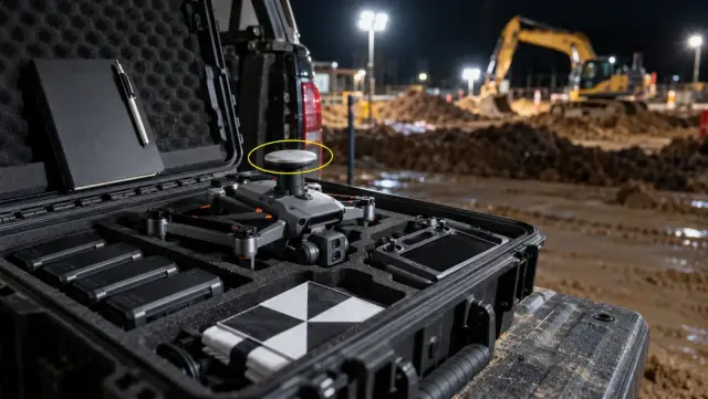
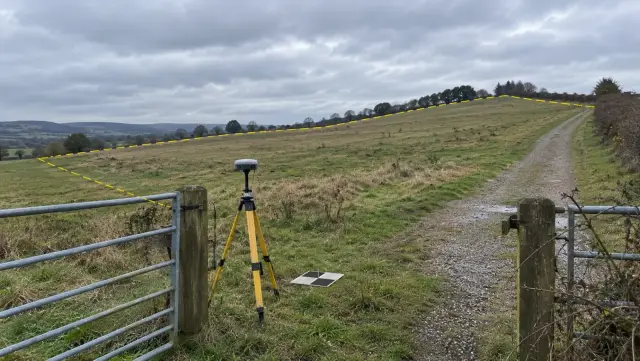
To eliminate the friction, the EPC firm replaced their manual survey cycles with YelloSkye's Drone Surveying & Site Analytics. Instead of waiting weeks for data, the commercial team received survey-grade ground intelligence (±2–3 cm) every few days.
1. Rapid Aerial Topography
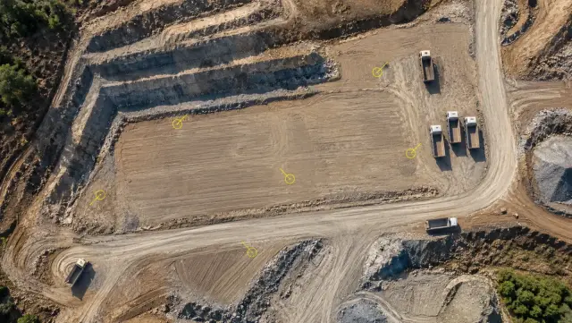
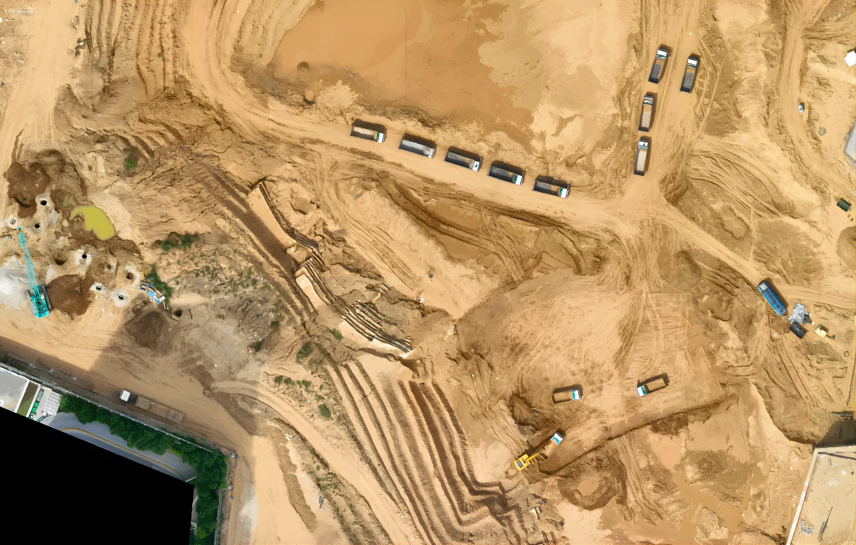
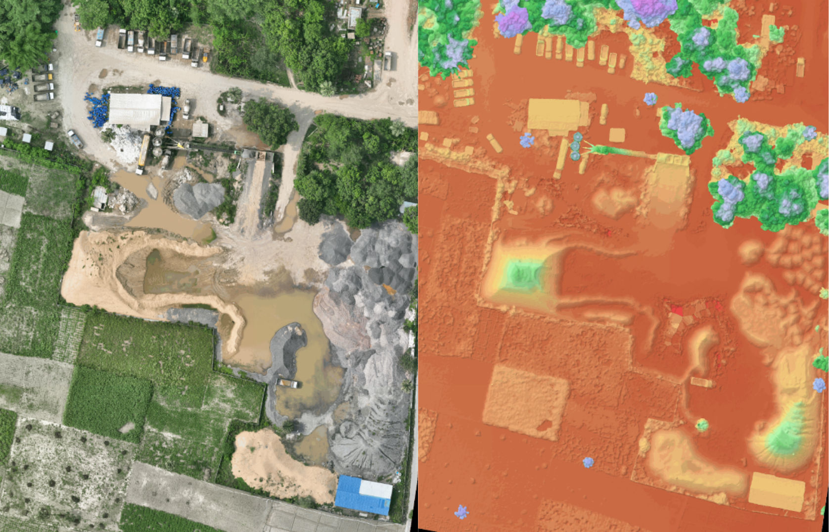
Using survey-grade drone capture, we digitized the entire corridor in a fraction of the time it takes a manual crew. This generated a highly accurate Digital Elevation Model (DEM) of the existing terrain.
2. Automated Cut-and-Fill Analytics
Instead of manually crunching numbers, the DEX platform automatically compared the current terrain against the design grading plan. The system instantly calculated exact cut-and-fill volumes, highlighting discrepancies in a visual, easy-to-read heat map.
The Measurable Impact on the Ground
By transitioning to automated volumetric analytics, the project team fundamentally changed their relationship with their contractors. Billing became a math equation, not a negotiation.
- Zero Billing Disputes: Payments were released based on indisputable, visual topographic data that both the contractor and the client could view on the DEX platform.
- 5x Faster Survey Turnaround: What used to take two weeks of manual surveying and CAD processing was reduced to 48–72 hours from drone flight to processed results.
- Optimized Material Movement: Site managers used the data to balance cut-and-fill volumes onsite, drastically reducing the need to pay for external dirt hauling.
When you remove the guesswork from earthwork, you don't just protect your margins—you accelerate your entire project timeline.