
Key takeaways
- The Context: Monitoring multi-kilometer linear assets (highways, pipelines, railways) requires continuous, scalable oversight to verify right-of-way clearings and keep concurrent work fronts perfectly aligned.
- The Solution: Deploying long-range drone configurations to execute automated corridor mapping, generating unbroken, geo-referenced 2D orthomosaics and chainage-wise progress dashboards.
- The ROI: Achieving 5x faster survey data velocity, operating with a 99.9% ground accuracy rate, and establishing authority-credible historical archives for seamless compliance reporting.
Scaling Visibility Across the Corridor
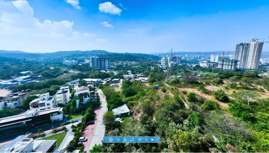
In large-scale infrastructure and highway development, the site isn't contained within a single fence line—it stretches across hundreds of kilometers. For Project Directors and EPC consortia, managing progress across multiple concurrent chainage points requires absolute coordinate clarity and high-speed data delivery.
Traditionally, tracking progress across expansive linear corridors relies on fragmented reporting from decentralized field teams. Today, industry leaders are upgrading to an automated, continuous standard. By integrating systematic aerial mapping, infrastructure developers establish a unified, browser-accessible digital corridor, ensuring every stakeholder commands the project from a singular, verified reference points.
Continuous Intelligence for Linear Assets
To maintain peak execution velocity and ensure right-of-way (RoW) boundary precision, forward-thinking infrastructure teams are deploying Survey IQ and Construct IQ. YelloSKYE structures long-range aerial captures into an unbroken stream of high-fidelity spatial data.
The Corridor Intelligence Workflow:
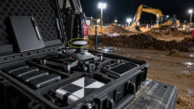
- Automated Long-Range Flights: Drones execute pre-programmed, terrain-following flight paths tailored to the narrow corridor swath, ensuring consistent data resolution across changing landscapes.
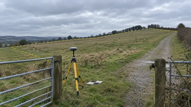
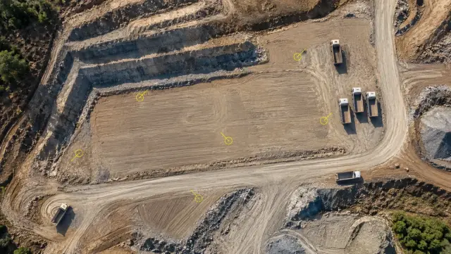
- Geo-Referenced Visual Stitching: Every pixel captured is bound to exact global coordinates, forming high-resolution orthomosaics and digital terrain models across the entire length of the asset.
- Chainage-Wise Analytics: The structured data is mapped to specific section milestones on the DEX platform, allowing leadership to instantly cross-reference planned alignment maps with real-world execution.
Driving Predictability in Infrastructure Execution
Transitioning to systematic aerial corridor tracking redefines how high-budget infrastructure assets are managed, verified, and audited:
- Radical Data Velocity: Achieve a 5x increase in survey speed. Engineering teams receive actionable topographic models in days rather than weeks, keeping massive grading and earthwork operations moving forward on schedule.
- Absolute Design Alignment: Check every layout line against ±2–3 cm survey data. By overlaying design files onto the live orthomosaic, planners confidently confirm right-of-way clearings and boundary compliance.
- Authority-Credible Archiving: Build a seamless, timestamped historical record of physical milestones. This indisputable data provides the ultimate reference during compliance reviews, milestone audits, and authority meetings.
Your site, in sight. When your asset spans horizons, manual oversight is upgraded with spatial certainty. Command your infrastructure with absolute clarity and run your project on unarguable reality.