
Key takeaways
- The Problem: Owners and programme managers delivering highways, bridges, rail, metro and water schemes have to release progress payments, coordinate several contractor packages and meet environmental and community conditions, often relying on reports written by the contractors they are paying.
- The Solution: Scheduled Construct IQ drone captures that build one agreed, timestamped evidence record across every package, used to check milestone claims, compare contractors on the same basis and keep compliance records current.
- The ROI: 40% reduction in coordination delays, payment decisions backed by measured evidence, and programme reporting that no longer depends on each contractor's own format.
The Challenge: Accountable for the Outcome, Rarely on Site
Public agencies, concession holders and private developers carry the budget, the schedule and the public scrutiny, yet they see the project mostly through contractors' reports.
On a large programme this creates three recurring problems:
- Milestone payments rest on claims, not evidence. Most infrastructure contracts release money when a defined stage is reached: a pier completed, a deck cast, a section of track laid, a pipeline length tested. When the only proof is the contractor's own progress payment claim and a few site photos, every payment becomes a negotiation.
- Each package reports differently. A programme split into civil, structures, systems and utilities packages may have several main contractors, each with its own reporting format and definition of "complete". The programme manager ends up reconciling numbers instead of managing risk.
- Compliance records are patchy. Environmental and community conditions, such as clearance limits, watercourse protection, dust and noise controls, traffic management and reinstatement, need records that hold up when a regulator, funder or local authority asks for them. Ground photos taken when someone remembers rarely do.
An Agreed Evidence Record for Milestone Payments
The most useful step is to agree, at contract stage, what evidence will be used to confirm each milestone. Drone captures flown on a fixed schedule then become that evidence.
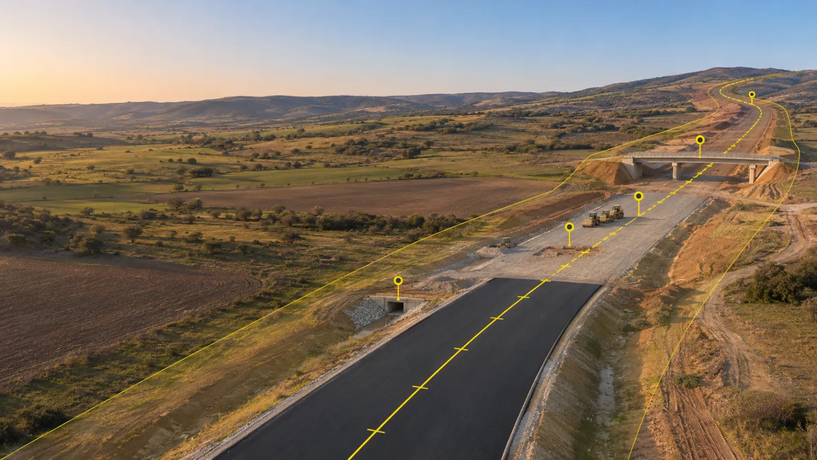
- Georeferenced orthomosaics show what is physically built on a given date, at a survey accuracy of ±2–3 cm.
- Measured quantities for earthworks and stockpiles are calculated from the terrain model within 1–3%, giving an independent check on volume-based claims.
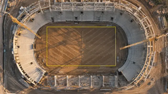
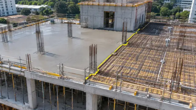
- Structure imagery records piers, abutments, decks and retaining walls from angles a ground inspector cannot easily reach.
- Timestamped history in the DEX platform lets the owner, the programme manager and the contractor review the same capture side by side with the claim.
Data is delivered within 48–72 hours of each flight, so the evidence is ready before the payment cycle closes. For the dispute side of this process, see resolving contractor billing disputes.
Overseeing Several Contractor Packages on One Basis
Because every package is captured with the same parameters, the programme manager compares like with like:
| Programme question | What the capture record shows |
|---|---|
| Which package is behind its milestone plan? | Built extent per package on the same date |
| Are interfaces between packages ready? | Status at handover points, such as a bridge approach meeting an embankment |
| Is a reported "complete" stage actually complete? | Imagery and measurements at that location |
| Where should senior attention go this month? | A single dashboard across all packages, with a timeline for each |
Meetings move from debating whose figures are right to deciding what to do about the gaps.
Environmental and Community Compliance Records
The same flights produce a running compliance archive at no extra mobilisation:
- Working-area and clearance boundaries against the approved footprint
- Buffers around watercourses, protected trees and sensitive habitats
- Topsoil and spoil stockpile locations and volumes
- Temporary works, haul roads and site access affecting neighbours
- Reinstatement of land and public routes once work moves on
Each record is dated and located, ready when a funder, regulator or community group asks about a specific place.
How the Programme Workflow Runs
- Agree the evidence standard with contractors: milestones, capture frequency and what each capture must show.
- Fly on schedule across all packages, in line with the rules of the national aviation authority (for example the FAA in the US, the CAA in the UK or the GCAA in the UAE).
- Process and publish orthomosaics, terrain models and measurements to DEX within 48–72 hours.
- Review claims and compliance against the record before each payment cycle and reporting date.
Mapping the full route and tracking right-of-way clearance is a separate task, covered in linear corridor mapping.
Who Uses It
- Highways and bridges: new roads, widening schemes, interchanges and multi-span crossings
- Rail and metro: new lines, viaducts, stations and depots
- Water and wastewater: reservoirs, treatment works, pipelines and flood defences
- Ports and waterways: quays, jetties and channel works
- Programme managers and owner's engineers acting for public agencies or private funders
Book a demo to see how an agreed drone evidence record supports milestone payments, contractor oversight and compliance reporting on your programme.