
Key takeaways
- The Problem: Active open-pit mines and quarries need reliable stockpile and pit volumes, current bench and haul-road condition and proof that work stays inside the permitted lease area, yet ground surveys are slow, infrequent and put crews next to blasting, haul trucks and unstable faces.
- The Solution: Survey IQ drone surveys that capture the pit, stockpile yard and waste dumps in one mission, producing orthomosaics, terrain models and volume reports without stopping production or sending surveyors into active zones.
- The ROI: Survey accuracy of ±2–3 cm, stockpile and pit volumes within 1–3%, results delivered in 48–72 hours and no survey crews exposed on active benches.
The Challenge: Measuring a Site That Never Stops Moving
An operating mine or quarry changes every shift. The site team needs to know what has come out of the ground, what is on the stockpile pad and whether the operation is staying within its permit. Ground survey struggles to keep up.
- Stockpile reconciliation: Inventory figures built from weighbridge records, truck counts and plant output drift away from what is physically on the pad. Without an independent measurement, stock values rest on assumptions.
- Pit volumes against the mine plan: Planners need to know how much ore and waste has been moved and where the pit stands against the design.
- Bench and haul-road condition: Bench widths, crest lines, ramp gradients and road surfaces affect both safety and haul cycle times. Checking them on foot is slow and partial.
- Lease-boundary and permit compliance: Extraction, dumping and stockpiling must stay within the permitted area. An occasional boundary check can miss gradual creep across a lease line or into a buffer zone.
- Survey safety: Ground survey in an active pit means working near blasting, haul trucks, loaders and unstable slopes, often with production paused.
The YelloSKYE Solution for Mines and Quarries
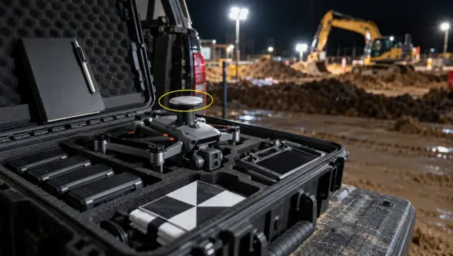
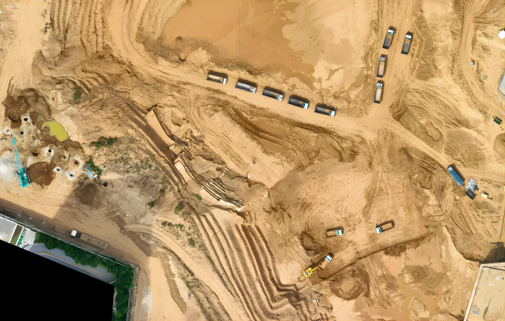
YelloSKYE flies survey-grade drone missions over the pit, stockpile yard, waste dumps and haul network, then processes the data into georeferenced orthomosaics and 3D terrain models (DEM and DTM) on the DEX platform.
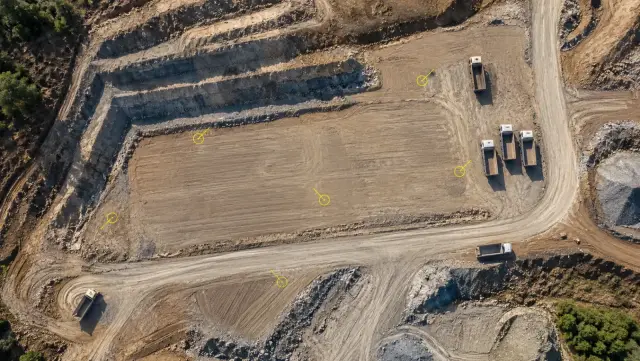
- Stockpile volumes: Every stockpile on the pad is measured from the point cloud, within 1–3%, giving an independent figure to reconcile against weighbridge and production records.
- Pit and dump volumes: Each survey is compared with the previous one and with the mine design, showing material moved, volume remaining to the design surface and how waste dumps are growing.
- Bench and slope geometry: Terrain models show crest and toe lines, bench widths and face angles across the whole pit, including areas no crew could reach.
- Haul-road condition: Orthomosaics and elevation data show ramp gradients, road widths, drainage and surface damage, so maintenance can be planned before it slows the haul fleet.
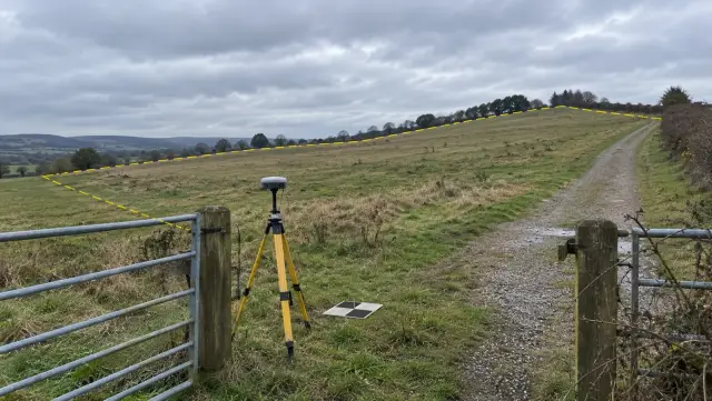
- Lease and permit boundaries: Approved lease lines, buffer zones and permitted disturbance areas are overlaid on each new orthomosaic, so work approaching or crossing a boundary shows up on the next survey rather than the next annual check.
- Survey without crews in active zones: The pilot works from a launch point outside the operating area, and production carries on.
How This Differs From Other Survey Work
This use case is about operating extraction sites, not construction earthworks or land due diligence.
| Active mine or quarry | Construction earthworks | Pre-acquisition land survey | |
|---|---|---|---|
| Main question | How much has been extracted and stockpiled, and is the site within its permit? | How much has been cut and filled against the design grading? | Is this land worth buying? |
| Survey pattern | Recurring for the life of the operation | Throughout the earthworks phase | Once, before the deal |
| Key outputs | Stockpile and pit volumes, bench and road condition, boundary overlays | Cut-and-fill heat maps against the design | Boundaries, terrain, drainage, usable acreage |
For cut-and-fill measurement on construction sites, see automated earthwork volumetrics. For surveying land before purchase, see drone land survey for site feasibility.
Flying Over an Active Site
Flights are planned around the blasting schedule and site traffic rules. Pilots follow the national aviation authority's rules (for example the FAA in the US, the CAA in the UK or the GCAA in the UAE) and the mine's own safety procedures and exclusion zones.
The Impact
- Independent stockpile figures for inventory reconciliation.
- A current, measured picture of the pit against the mine plan.
- Contract mining quantities checked against the same measured surfaces the owner uses.
- Earlier warning of bench, slope and road problems.
- A dated, georeferenced record of where extraction, dumping and stockpiling took place relative to lease and permit boundaries for regulators, auditors and owners.
- No survey crews in active zones and no production pauses.
- Processed data within 48–72 hours of capture.
Sites Served
- Open-pit metal mines: ore and waste movement and dump growth
- Coal mines: overburden removal, coal stockpiles and spoil dumps
- Hard-rock and aggregate quarries: face progress and product stockpiles
- Limestone and cement raw material quarries: extraction against plan and stockpiles
- Sand and gravel pits: extraction limits and stockpile volumes
- Mine rehabilitation: post-closure monitoring and reclamation progress
Book a demo to see how drone surveys can replace manual pit and stockpile surveys at your operation.