
Key takeaways
- The Context: Managing commercial facades and massive industrial infrastructure requires precise, objective data to maintain peak asset value and ensure continuous, non-disruptive operations.
- The Solution: Deploying automated drone fleets equipped with high-resolution RGB and radiometric thermal sensors to map the entire asset, creating an interactive, 3D Digital Twin.
- The ROI: Accelerated inspection cycles, enhanced safety standards, and predictive insights that preserve structural integrity and optimize maintenance budgets.
Elevating the Standard of Asset Management
For Facility Managers and Asset Owners, maintaining the health of a 40-story commercial tower or an industrial plant is a complex undertaking. Historically, accessing these structures required erecting extensive scaffolding or utilizing rope-access teams—methods that, while functional, require significant time and temporarily alter the operational flow of the site.
Today, industry leaders are seeking more seamless, data-driven approaches. Instead of relying on manual photography and isolated reports, modern asset management demands comprehensive, objective visual data that can be analyzed from anywhere in the world.
Seamless Intelligence with Multi-Sensor Drones
At YelloSKYE, we empower facility teams to capture the absolute "Ground Truth" of their assets seamlessly and safely. By deploying automated drones equipped with multi-sensor payloads (RGB, Thermal, and LiDAR), we digitize the entire structure without requiring a single person to leave the ground.
How Digital Asset Inspection Works:
- Automated Flight Paths: Drones fly pre-programmed, repeatable grids around the structure, capturing thousands of overlapping, ultra-high-resolution images and thermal readings.
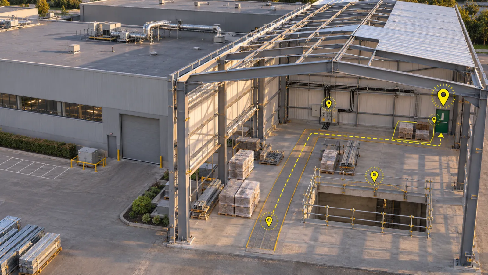
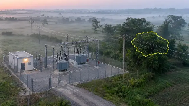
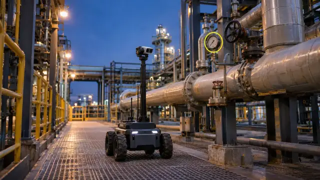
- Precision Defect Mapping: The data is processed into a survey-grade 3D Digital Twin. Our platform clearly maps and categorizes structural nuances, such as concrete wear or moisture presence, with exact spatial coordinates.
- Advanced Thermal Insights: Radiometric thermal sensors identify temperature anomalies, highlighting HVAC performance, insulation health, and hidden moisture behind the facade that is invisible to the naked eye.
Driving Predictability and Asset Value
Moving to a spatial intelligence platform fundamentally optimizes how high-value assets are managed and maintained:
- Enhanced Operational Safety: By utilizing remote drone capture, you inherently elevate site safety standards, keeping your maintenance teams securely on the ground during the initial data-gathering phase.
- Proactive & Predictive Maintenance: Because every data point is tagged with exact GPS coordinates on a 3D model, maintenance teams can transition from reactive repairs to predictive care, addressing micro-wear long before it requires major intervention.
- Objective Compliance & Archiving: A complete digital twin provides a flawless, unarguable historical record for compliance audits, insurance renewals, and stakeholder reporting.
Infrastructure management is evolving rapidly. By equipping your teams with proactive spatial intelligence, you ensure your assets are managed with absolute clarity and precision.