
Key takeaways
- The Question: How does a utility use drones across an entire network of lines, substations, pipelines and water assets, rather than on one asset at a time, and how do the results reach the people who fix things?
- The Answer: A utility gets value from drones when it treats them as one programme: every asset class has a defined flight type and interval, vegetation and storm response have their own routines, and every finding lands in the maintenance system against an asset ID with a severity grade. Flying is the easy part; the asset register, repeatable flight plans and a clear route from image to work order decide the result.
- The YelloSKYE Angle: Inspect IQ inspects towers, corridors, industrial structures, solar plants and wind turbines with RGB, thermal and LiDAR sensors, and the DEX platform keeps each finding at its location with a severity grade, a dated history and an exportable report.
Utility drone inspection is the use of drones to check the physical condition of an electricity, gas, water or district energy network: overhead lines and poles, substations, pipeline routes, reservoirs, treatment works and the vegetation that grows around them. Drones replace much of the climbing, helicopter flying and long-distance driving these checks used to need, and they leave a dated visual record of every asset that can be compared from one cycle to the next. For a utility, the gain comes from running drones as a single programme across the network rather than as a string of separate jobs.
At YelloSKYE, network inspection is handled by Inspect IQ. The focus here is the programme as a whole: which flights suit which asset class, how to handle vegetation and storms, how to set intervals, and how findings become work orders. For the detail of inspecting a single overhead line, read our guide to power line drone inspection.
Why a utility network is a different problem
A factory owner inspecting one plant can plan each survey as a project. A utility cannot. Its assets are counted in thousands, spread across cities, farmland, forest and coastline, and they come in very different forms: long, thin routes such as lines and pipelines, compact high-value sites such as substations and pumping stations, and large structures such as dams and storage tanks.
Three features shape how drones are used:
- Scale. A survey method that works for ten structures has to work for ten thousand. Flight planning, data handling and review all have to be repeatable without a specialist redesigning each job.
- Regulation and safety. Utilities answer to regulators for reliability and safety, so inspection records are evidence, not just maintenance notes. A dated, located image of an asset's condition carries weight in that conversation.
- A mixed field workforce. Line crews, substation fitters, pipeline patrols and water engineers each have their own routines. Drone data is only useful if it fits the way each of those teams already plans its work.
Where drones fit across the network
Each asset class needs a different kind of flight. The table below sets out the usual pattern.
| Asset class | Typical drone task | Sensors usually flown | What it reduces |
|---|---|---|---|
| Transmission towers and lines | Close-up structure flights and corridor mapping | RGB zoom, thermal, LiDAR | Climbing, helicopter patrols, outages for inspection |
| Distribution poles and spans | Pole-top photographs and short corridor runs | RGB, thermal | Bucket truck visits for routine checks |
| Substations | Overhead and oblique views of yards, roofs and gantries | RGB, thermal | Walking yards close to live equipment, roof access |
| Gas and liquid pipeline routes | Right-of-way patrols, ground movement and encroachment checks | RGB, LiDAR, gas sensing on some routes | Foot and vehicle patrols over long distances |
| Reservoirs, dams and spillways | Face, crest and spillway surveys | RGB, LiDAR | Rope access on high faces, boat surveys |
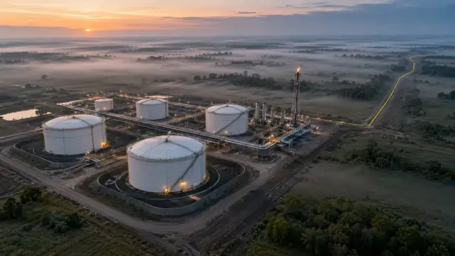
| Treatment works and tanks | Roofs, covers, walls and pipework | RGB, thermal | Confined or high access for visual checks |
| Generation sites (solar, wind) | Array thermal surveys, blade and tower checks | Thermal, RGB | Walking rows, rope access on turbines |
Electricity lines and poles
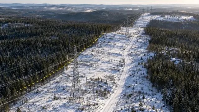
Line work is the most mature use. Close flights photograph each insulator, fitting and conductor attachment, while longer corridor flights record clearances and ground conditions along the route. On YelloSKYE's asset inspection page, Inspect IQ's line work is described as picking up insulator cracks, hardware that has gone missing and trees closing on the conductors, all while the lines stay in service.
Substations
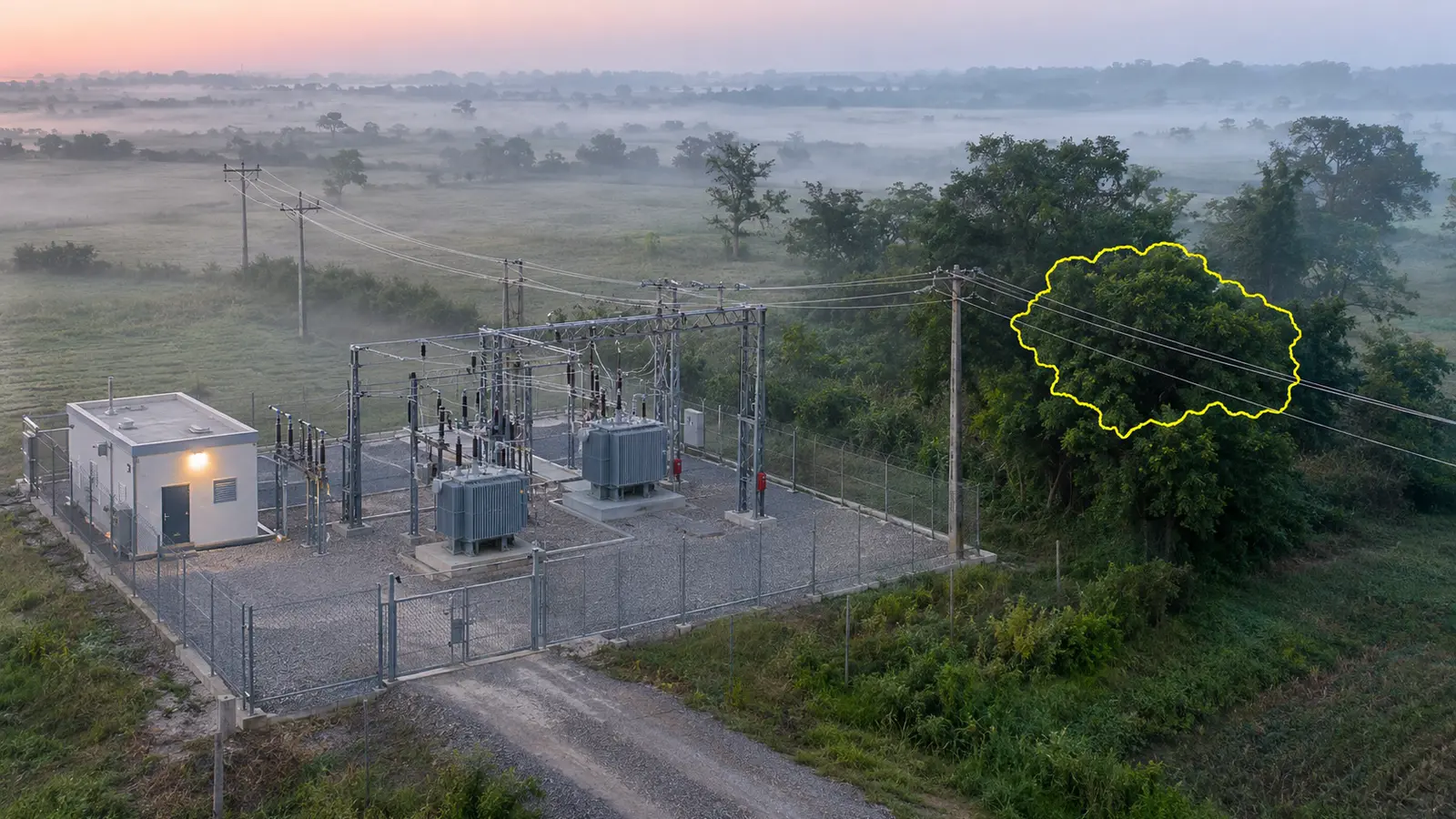
Substations combine high value with high hazard, which makes a drone view attractive. From above, an inspector can see bushings, busbar connections, transformer tops, cooling fans, cable trenches, fences and building roofs in one pass. Thermal capture under load picks out connections running warmer than their neighbours. Flying inside a substation needs careful planning: magnetic interference can upset the drone's compass, and the operator must agree flight paths and approach limits with the site's own safety rules before take-off.
Pipelines and water assets
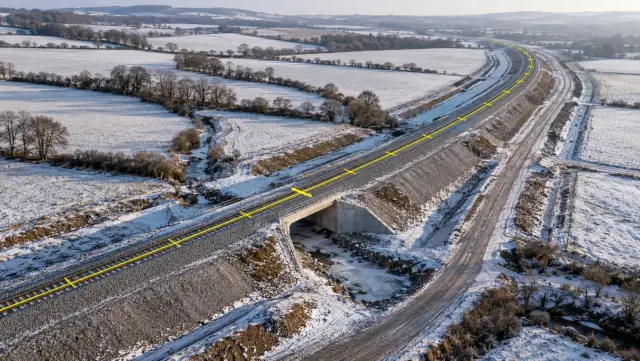
Pipeline routes are inspected less for the pipe, which is usually buried, than for what happens around it: new building or excavation on the easement, erosion and slips, exposed sections at river crossings, and the marker posts and valve sites along the way. Corridor flights that follow the terrain suit this work, and our drone corridor mapping guide explains how to plan those flights over long distances. Water utilities add another set of structures: dam faces and spillways, reservoir banks, open tanks, clarifiers and the roofs of pumping stations, where a drone gives a view that once needed scaffolding, a boat or rope access.
Generation and new connections
Many utilities own or operate generation. Solar plants are surveyed with thermal cameras across every row, and the solar farm thermal inspection use case describes software that marks each hot spot, failed diode or disconnected string at a GPS position, which lets the maintenance team walk directly to the module concerned. Wind turbines are another asset type Inspect IQ covers. Utilities building new lines, mains and connections can also use drone surveys to record what was installed before it is buried; our guide to utility as-built mapping explains that side of the work.
Vegetation management: the recurring job
For many electricity networks, vegetation is the largest single inspection and maintenance task. Trees grow towards conductors every season, fall onto lines in storms, and in dry regions are a source of fire risk. Drones help in three ways.
First, corridor mapping measures the actual distance between conductors and nearby trees, instead of relying on a patrol's estimate. A LiDAR point cloud or a photogrammetric model of the corridor can be checked against the clearance distances the utility uses, so trimming crews are sent where clearance is below the limit rather than along whole routes on a fixed rotation.
Second, repeat surveys show growth. Comparing this year's corridor model with last year's shows which spans are closing fastest, which helps the vegetation team plan its next season.
Third, drones verify the work. After a contractor has cleared a section, a follow-up flight records whether the agreed clearance was achieved. That record also helps settle questions about contractor payment.
Storm and emergency response
After a major storm, flood or fire, the first task is to find out what is damaged and whether crews can reach it safely. Drones can be in the air as soon as conditions allow, over roads that are blocked or ground that is unstable, and send back images that let control rooms decide where to send which crew with which materials.
This works best when it has been prepared in advance:
- A baseline exists. Comparing post-event images with a recent normal survey makes damage obvious, especially subtle changes such as a leaning pole or a slipped bank.
- Flight plans are ready. Priority routes, critical substations and high-consequence crossings have flight plans prepared before the season, so nobody is designing a mission during an outage.
- Permissions are in place. Emergency operating arrangements with the aviation authority, where the country allows them, are agreed beforehand.
- Results go to the right place. Damage images reach the outage management team as located findings, not as a folder of photographs to sort through.
Designing the inspection programme
Start from the asset register
Every flight should be tied to asset IDs that already exist in the utility's register or geographic information system. If a tower, pole, tank or valve site has no reliable ID and location, fix that first, because a finding that cannot be matched to an asset cannot be turned into a work order.
Set intervals by risk
Intervals are usually a mix of regulatory requirements and risk. Critical transmission routes, assets near homes or schools, and lines in fire-prone areas may justify more frequent flights. Lower-consequence assets can move to a longer cycle with condition-based triggers, such as a flight when a fault occurs nearby.
Keep the flight plans fixed
A drone survey is most useful when the same plan is flown every time: the same height, angles, stand-off distance and sensor settings. YelloSKYE's automated asset inspection use case describes pre-programmed flight paths around each structure, with RGB, thermal and LiDAR data processed into a 3D model in which every finding carries GPS coordinates. Fixed plans are what make two dates comparable.
Decide what to do in-house
An in-house team can respond quickly and build local knowledge. A contracted provider brings specialist sensors, processing and analysis capacity for large planned surveys. Many utilities split the work this way. Whatever the split, decide early who reviews the imagery and grades the findings, because that is where most of the effort sits.
Plan for permissions and long routes
Rules on flying beyond visual line of sight, near airports, over people and at night vary between countries and change over time. Long-route inspection often depends on these permissions, so build the approval time into the programme rather than treating it as a last-minute step.
From image to work order
Imagery on its own does not repair anything. The programme only pays off when each finding moves into the maintenance process the network already uses.
A good finding has five parts: the asset ID, the exact component, a photograph that shows the problem clearly, a severity grade agreed with the engineering team, and a recommended action. Inspect IQ returns findings in that form: each entry holds marked-up imagery, its position, how serious the defect is and what to do about it, and the list can be exported as PDF, Excel or BIM-linked files for the utility's own systems. Machine learning can speed up the search across thousands of images, but an engineer should confirm what each flagged item means before it becomes a job for a crew.
Inside the DEX platform, each finding stays pinned to its place on the captured asset, dashboards show which items are open and how severe they are, and the historical comparison shows when a defect first appeared and whether a repair has closed it. That last step matters: a re-flight after the repair is the cleanest proof the work was done.
Treat drone data as critical infrastructure information. Agree who can see it, where it is stored and how long it is kept, in line with the utility's security policies.
Measuring whether the programme works
Utilities should judge a drone programme by its effect on maintenance, not by the number of flights.
| Measure | What it tells you |
|---|---|
| Share of assets inspected within their planned interval | Whether the programme is keeping up with the network |
| Time from flight to graded findings | Whether review capacity matches flying capacity |
| Time from finding to work order | Whether results are reaching the maintenance teams |
| Findings confirmed on site | Whether grading is reliable enough to plan work from |
| Repeat findings on the same asset | Whether repairs are effective |
| Climbs, outages and helicopter hours avoided | The safety and cost case |
On YelloSKYE's asset inspection page, the stated gains are a 90 per cent reduction in scaffolding and inspections that run five times faster. Your own figures will depend on the asset mix and how much of the old method the drone replaces, so record a baseline before the programme starts. On long routes, YelloSKYE's linear corridor mapping use case reports survey data delivered five times faster with terrain-following flights along the asset.
Utility drone programme checklist
- Clean the asset register so every structure, site and route section has a reliable ID and location.
- Assign a flight type to each asset class: close structure flight, corridor run, site overview or thermal survey.
- Set intervals by risk, with extra triggers for storms, faults and fire seasons.
- Fix flight plans and sensor settings so each survey can be compared with the last.
- Prepare emergency missions and permissions before the storm season.
- Agree a severity scale with the engineering teams and use it for every finding.
- Connect findings to work orders in the existing maintenance system, with asset IDs attached.
- Re-fly after repairs and close each finding against the new images.
- Agree data access and retention rules that meet the utility's security policies.
- Track the measures above every quarter and adjust intervals where the data shows assets changing faster or slower than expected.