
Key takeaways
- The Question: How do you keep BIM coordination valid once work begins on site and what gets installed starts to drift away from the coordinated model?
- The Answer: Run coordination as a field-to-model loop: capture each zone just before it is covered up or built upon, compare it with the federated model, raise field conflicts while they are cheap to fix, and push approved changes back into the model every week.
- The YelloSKYE Angle: BIM IQ turns laser scans and drone point clouds into as-built geometry and sets it against the design, and Construct IQ's 360° interior captures show services in place, so the coordination meeting starts from site evidence instead of recollection.
The gap between the coordinated model and the installed work
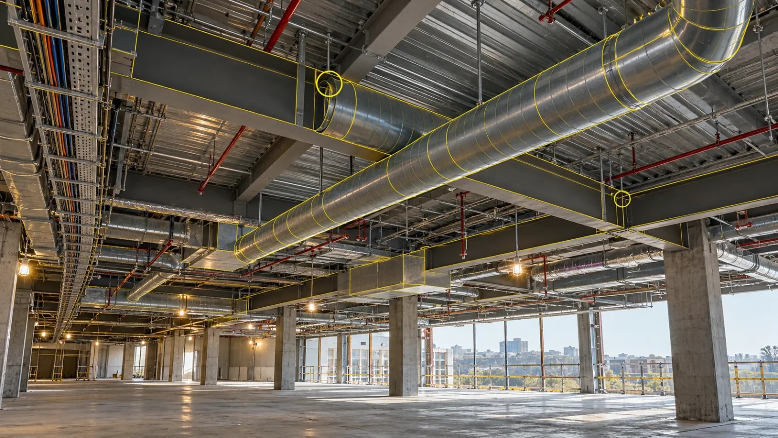
BIM coordination in construction does not finish when the last clash is closed in preconstruction. From the first pour onwards, the federated model and the real building start to diverge, and the coordination task becomes keeping those two records in agreement until handover. The model that every downstream trade relies on is only useful while it still describes what is physically there.
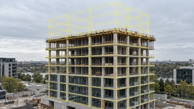
At YelloSKYE we work on that gap through BIM IQ: converting scans and drone data into measured as-built geometry, comparing it with the coordinated design, and flagging the places where the two disagree before the next package of work is fixed in position.
Drift rarely comes from one big mistake. It builds up from many reasonable site decisions:
- Tolerances that stack. A slab edge, a column and a core wall can each sit within tolerance and still leave a riser shaft too tight for the coordinated pipework.
- Instructions issued on site. A designer answers an RFI by sketch, the change is built, and nobody updates the discipline model.
- Equipment substitutions. A replacement air handling unit or switchboard arrives with different dimensions or connection points.
- Routing around obstacles. An installer meets an unexpected hanger or temporary support and takes the pipe a different way.
- Resequencing. One trade installs early to keep its crew busy and occupies space another trade was coordinated to use first.
Each change seems small on its own. Together they mean the next trade may be working from a model of a building that no longer exists, and that matters most where MEP assemblies are prefabricated off the model and arrive expecting the void to be exactly where it was drawn.
Design-stage clash testing in brief
Before construction, coordination means federating the architectural, structural and MEP models, running automated tests for hard, soft and sequence clashes, agreeing fixes discipline by discipline and releasing zones once they test clean. The BIM Execution Plan sets the shared origin, exchange formats such as IFC for models and BCF for issues, clash tolerances and the level of development expected at each stage.
That work answers one question well: will the design fit together? It cannot answer whether the building is being built as designed, which is the subject of the rest of this guide. For how trades, office and field stay in step beyond the model itself, see our guide to construction coordination.
Keeping the federated model in step with site reality
A coordinated model starts to age the day it is released. Three habits keep it trustworthy through the build.
Decide which model is the reference
The model released for construction remains the design baseline. Measured as-built geometry should sit beside it as its own layer, not overwrite it, so anyone can see both what was intended and what was built. Name and date every release, and make sure site teams can tell which version they are installing to.
Feed site changes back within the week
Every RFI answer, site instruction and approved substitution that changes geometry needs an owner who will model it before the next coordination cycle. If that step slips, the following clash run tests a design the site has already abandoned, and its results give false comfort.
Record approved deviations as well as conflicts
Some differences between the model and the site are accepted: they are within tolerance, or the designer has confirmed they cause no harm. Logging those decisions, with the capture that shows the position, stops the same item being raised every week and tells following trades where the element really sits.
Capturing site evidence before the next trade closes up
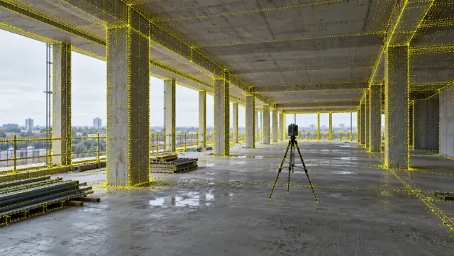
The timing of a capture matters more than its frequency. The best moment is just before work becomes hidden or built upon: after a slab pour, after steel erection, before ceilings are boarded, before partitions are closed and before external works are backfilled. Miss that window and the evidence is behind plasterboard.
Different methods suit different hold points. Our guide to reality capture and BIM covers how capture data and the model are aligned; the table below focuses on what each method gives a coordination team.
| Capture method | Best suited to | What the coordination team gets | Main limitation |
|---|---|---|---|
| Terrestrial laser scan | Cores, slabs, steel frames, plant rooms, dense riser and ceiling zones | Measured geometry that can be compared element by element with the model | Slower per square metre; must be registered to project coordinates |
| Drone survey | Frames seen from above, roofs, external services, earthworks and site-wide layout | Position and extent of work across the whole site on a dated survey | Cannot see inside enclosed floors |
| 360° walkthrough | Interiors, above-ceiling services, fit-out sequences | A navigable visual record of what is installed, where and in what order | Visual evidence rather than survey-grade measurement |
| Fixed cameras | Sequencing, logistics, crane and laydown activity | A continuous record of when work happened | Fixed viewpoint and no geometry |
On most projects the answer is a mix: scans where millimetres decide whether prefabricated work fits, 360° walks where the question is what has gone in and in what order, and drone surveys for the overall picture.
Model clashes and field conflicts compared
Clash detection compares one model with another. Field-conflict detection compares the site with the model, and with the work still to come. The two use similar software and similar language, which is why teams often assume the first covers the second.
| Clash detection | Field-conflict detection | |
|---|---|---|
| Question it answers | Do the discipline designs fit together? | Does the installed work match the coordinated design, and will the next package still fit? |
| Inputs | Discipline models at an agreed LOD | Scans, drone surveys or 360° captures registered to the federated model |
| When it runs | Mostly in design and preconstruction, then whenever the design changes | At each hold point during construction, ideally every week |
| Typical findings | A duct through a beam, a tray inside a clearance zone | A column off its grid line, a sleeve missing from a pour, a pipe on an uncoordinated route |
| Who acts | Designers and discipline modellers | Site engineers, installing trades and the design team |
| Cost of a miss | Found later on site, at higher cost | Found by the next trade, or after ceilings close, at the highest cost |
| Output | A coordinated model released for construction | A field conflict log, model updates and accepted deviations |
Field conflicts tend to fall into five groups:
- Out-of-position elements. Structure or services built away from their modelled location.
- Missing elements. Embeds, sleeves, openings or supports that were never cast or fixed.
- Uncoordinated routes. Services installed along a path that now blocks a coordinated one.
- Early or late installation. Work placed out of sequence, taking access or space another trade needs.
- Unmodelled site items. Hangers, temporary works and supports added on site that never reached the model.
The as-built vs BIM clash detection use case shows the first group in practice: scanning straight after a structural pour and overlaying the point cloud in Navisworks or Revit so an element out of position is found before MEP installers arrive.
Running a coordination meeting with site evidence on the table
When site captures join the model in the meeting room, the meeting itself changes shape.
What changes on the agenda
The first items are field conflicts in zones due to close in the coming days, not the total number of open clashes. Each item is shown at its location with the capture and the model side by side, so there is no debate about what is actually there. The discussion moves straight to a decision.
Who needs to be in the room
Besides the BIM coordinator and discipline leads, invite the site engineer for each zone and a supervisor from the trade that installs next. They are the people who know whether a fix can be done in time and who will feel the consequences if it is not.
What a decision needs before it is closed
Every item leaves the meeting with one of three outcomes: correct the work on site, accept the field position and update the model, or redesign the downstream package. Each outcome has an owner, a date and a named capture that will confirm it. An item is closed when that capture shows the fix, not when someone reports it done.
Teams who move to a shared visual record often find the meeting gets shorter as well as sharper. On the interior fit-out use case, replacing scattered photos with navigable 360° captures cut coordination time by 70%.
LOD expectations once construction starts
Field comparisons only work against elements that exist in the model as real geometry. A generic ceiling zone or a box labelled "plant" cannot be checked against a scan. Our guide to BIM level of development explains the LOD scale; for field coordination, these are the practical expectations.
| Purpose | Typical LOD | Why |
|---|---|---|
| Spatial planning in early design | LOD 200 | Approximate size and position only; too coarse for field checks |
| Coordination released for installation | LOD 300 to 350 | Accurate geometry, and at 350 the supports and interfaces between systems |
| Prefabricated assemblies | LOD 400 | Fabrication-level detail that the site must match closely |
| As-built geometry from capture | LOD 300 to 350 for most verification work | Enough detail to measure position against the design model |
Two further points are worth agreeing early. Capture accuracy has to be finer than the tolerance you want to check, so a visual walkthrough cannot confirm a fit that needs a measured scan. And the LOD target should be set per zone and trade in the execution plan, because a plant room and a car park level need very different detail.
A weekly field-coordination routine
A fixed weekly rhythm keeps the loop running without turning it into a separate project. The days below are an example; the order matters more than the calendar.
| Day | Activity | Led by | Output |
|---|---|---|---|
| Monday | List zones reaching a hold point in the next week or so and plan the captures | Site engineer and BIM coordinator | Capture plan by zone and method |
| Tuesday | Scan, fly or walk the planned zones | Capture team or trained site staff | Dated, located captures |
| Wednesday | Register captures to the model, compare and triage the differences | BIM coordinator | Draft field conflict log with locations and photos |
| Thursday | Coordination meeting, field conflicts first | BIM coordinator with discipline leads, site engineers and next trades | Decisions with owners, dates and verifying captures |
| Friday | Model updates issued, closures checked against fresh captures | Discipline modellers and site engineers | Revised released model and a closed-item record |
On a small project the same routine can collapse into a single half-day session. On a dense hospital, data centre or transport project it may need to run zone by zone, with several captures a week in the areas about to close.
Where YelloSKYE supports the loop
- As-built geometry. BIM IQ accepts point clouds from major scanner brands, including Leica, FARO, Trimble and Matterport, and drone photogrammetry in formats such as .e57, .las, .rcp, .pts and .xyz. It registers them to model coordinates and delivers as-built BIM at LOD 300 to 400, with most verification work at LOD 300 to 350.
- As-built against design. BIM IQ compares the scan-derived model with the design model and highlights structural elements out of position, MEP conflicts and other deviations.
- Interiors and services. Construct IQ's 360° interior captures let teams walk a floor remotely, track MEP installation, compare changes between dates and pin issues to their location on the imagery.
- One shared view. The DEX platform layers CAD and BIM models on site captures, so the coordinator, site team and owner look at the same evidence on the same timeline.
- Existing tools. Models move in and out of Revit, Navisworks and ArchiCAD, and BIM IQ connects with Procore, BIM 360 and Autodesk Construction Cloud.
Where a project starts from an existing structure, the loop begins before design: the Scan to BIM for renovation projects use case shows how an as-built model gives coordination a measured starting point.
Checklist before the next zone closes
- Is the model on site the latest released version, and does everyone know which one it is?
- Have all geometry-changing RFIs, site instructions and substitutions from the last week been modelled?
- Has the zone been captured, with a method suited to the tolerance that matters?
- Has the capture been registered to the federated model and compared with it?
- Does every field conflict have an owner, a decision and a date?
- Have accepted deviations been logged so the next trade sees the real position?
- Has the next trade's supervisor seen the comparison before starting work?
If the answer to any of these is no, the zone is not ready to close. Coordination during construction is judged by one result: the building that is handed over matches the model that is handed over, and the captures prove it.