Construction Surveying: Types, Stages and Methods Explained
By Kush Agarwal, President and CEO, YelloSKYE. Published .
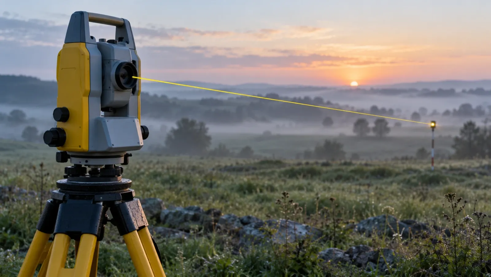
Executive Summary
- The Question: What is construction surveying, which surveys does a project need, and which instruments suit each job?
- The Answer: Construction surveying is the measurement work that ties a project to real coordinates, sets the design out on the ground and verifies what gets built. It spans topographic, control, layout, quantity and as-built surveys, each with its own instruments and accuracy needs.
- The YelloSKYE Angle: Ground instruments still own control and precise layout, while drone, laser-scan and 360° capture handle the site-wide, repeat measurement in between. Survey IQ and the DEX platform keep that record current and shared.
What is construction surveying?
Construction surveying is the set of measurements that fixes a project to real-world coordinates, transfers the design onto the ground and checks that the finished works match the drawings. It starts before design with a survey of the existing site and ends after completion with an as-built record of what was actually constructed.
For developers, EPC contractors and project management consultants, survey data shapes almost every commercial decision on a project: how much of a parcel is buildable, where the road and drainage levels sit, how much earth has to move and what the contractor should be paid for. Our Survey IQ solution focuses on exactly this terrain and quantity layer of the project.
Think of it as a chain: the existing-site survey sets the baseline, control ties every later measurement to it, layout transfers the design, quantity surveys track change and the as-built closes the loop. A weak link, such as a disturbed control pillar or an out-of-date topographic map, carries its error downstream.
Types of construction surveys
Most projects need several different surveys, often by different teams. The table below summarises the common types and when each is used.
| Survey type | What it records | When it happens | Typical users |
|---|---|---|---|
| Boundary and cadastral | Legal plot limits, encroachments, access | Before acquisition or design | Developers, legal and land teams |
| Topographic | Ground levels, contours, existing structures, trees, drainage | Before design | Architects, civil and MEP designers |
| Control | Fixed reference points with known coordinates and levels | Before construction starts | Survey team, site engineers |
| Layout (setting out) | Positions of grid lines, footings, columns, roads and services | Throughout construction | Site engineers, contractors |
| Earthwork and volumetric | Cut, fill and stockpile quantities | During site preparation and earthwork | Planning, billing and commercial teams |
| Monitoring and deformation | Settlement or movement of structures and slopes | During and after construction | Structural and geotechnical engineers |
| As-built | Actual position, level and dimensions of completed work | At milestones and handover | PMOs, owners, facility teams |
Boundary and topographic surveys
The boundary survey confirms what land the developer controls; the topographic survey describes its shape, drainage paths and existing features. Where land records and legacy topographic maps are dated, these surveys regularly change the usable area or the drainage design. Our use case on drone land surveys for site feasibility shows how this baseline supports acquisition decisions.
Control surveys
A control survey sets a network of reference points with known coordinates and levels, usually monumented as pillars or pegs that will survive the build. Every later measurement, whether from a total station, a GNSS rover or a drone, is tied back to this network. If control is weak or poorly distributed, everything measured from it inherits the error.
Layout surveys
Layout, or setting out, places the design on the ground: grid lines, pile and footing positions, column centres, road alignments, invert levels for drains and sewers. It is repeated at every stage of the structure and needs the highest precision on the project, often to a few millimetres for anchor bolts and structural steel.
Earthwork and quantity surveys
On land development, highways, industrial parks and mining sites, earthwork is one of the biggest cost lines, and it is usually paid by volume. Quantity surveys measure the ground before and after excavation or filling to calculate how many cubic metres have moved, and they track stockpiles of aggregate and soil.
As-built surveys
The as-built survey measures what was actually constructed, at milestones and at handover. It confirms compliance with the design, supports final billing and becomes the owner's record for operations, maintenance and future alterations.
How construction surveying runs across a project
The sequence below is typical for a building or land development project. Infrastructure projects follow the same logic along a corridor.
1. Pre-acquisition and feasibility
The developer needs to know boundaries, usable acreage, terrain and flood exposure before committing capital. A boundary check and a broad topographic survey answer most of these questions.
2. Design survey
Designers need a detailed topographic survey, with levels, contours and existing features, in a format that drops into their CAD or GIS environment. Errors here are expensive later because every design level is drawn against this surface. Validating the layout against the surveyed ground before design is locked catches level mismatches and encroachments early, as our terrain-based design validation use case describes.
3. Control and mobilisation
The survey team establishes and checks the control network, then protects the benchmarks from construction traffic.
4. Setting out and construction
Layout surveys run continuously as the work rises. In parallel, the project needs periodic measurement of progress and quantities: how much has been excavated, filled, placed or built since the last bill.
5. Verification and billing
Interim measurements are checked against the design and contractor claims. Thin or dated survey records are where disputes start.
6. As-built and handover
The final survey records the completed works, closes out the contract and becomes the baseline for operations.
Construction surveying methods and instruments
No single instrument does every job well. The choice depends on the accuracy required, the area to cover, line of sight and how often the measurement has to be repeated.
| Method | How it measures | Strengths | Limitations | Best suited to |
|---|---|---|---|---|
| Total station | Angles and distances from a fixed setup to a prism or surface | Highest precision for short-range work; works indoors and under cover | Point by point, needs line of sight, slow over large areas | Control, layout, structural setting out |
| DGPS / GNSS with RTK | Satellite positioning corrected by a base station or network | Fast positioning across open ground, no line of sight between points needed | Weak near tall structures, tree cover or indoors | Control networks, open-site topography, boundary points |
| Auto or digital level | Height differences along a line of sight | Simple and precise for levels | Levels only, no plan position | Benchmarks, slab and road levels |
| Terrestrial laser scanning | Millions of measured points from each scanner position | Dense, detailed 3D record of complex geometry | Large data volumes, needs registration and processing | Existing buildings, as-built checks, scan to BIM |
| Drone photogrammetry or LiDAR | Overlapping aerial imagery or laser returns, tied to ground control | Whole-site coverage in one flight, continuous surface rather than sampled points | Depends on ground control and weather; not for millimetre layout | Topography, earthwork volumes, stockpiles, corridors |
| 360° and fixed cameras | Dated, located visual records of the site | Frequent, low-effort capture of what is actually there | Visual evidence, not survey-grade coordinates | Progress records, verification between survey visits |
DGPS and total station: the backbone
DGPS and total stations remain the backbone of construction surveying. DGPS is quick for establishing control and capturing positions across an open site, while a total station takes over wherever precision or line of sight matters: inside structures, near tall buildings and for setting out foundations and steel. Most survey teams carry both and use digital levels for benchmarks.
Their limitation is coverage, not accuracy. Each shot is a single point, so a large topographic survey is a sample of the ground, and every monthly earthwork bill means walking the site again.
Laser scanning
Terrestrial laser scanners capture millions of points from each setup, producing a dense point cloud of buildings, plant rooms, structural frames and façades. They are the standard tool for documenting existing buildings and checking built geometry against a design model. Our as-built vs BIM clash detection use case shows scanning used to catch structural deviations, and BIM IQ covers this work in more depth.
Drone surveys
Drone surveys measure the whole surface of a site rather than a sample of points. Imagery or laser data is processed into an orthomosaic, a surface model and contours, tied to ground control set with DGPS. That makes them well suited to topography and earthwork quantities over large areas. Commercial drone flights fall under national aviation rules, which usually require registered aircraft and certified remote pilots, and weather and airspace permissions affect when a flight can go ahead. We cover drone surveys specifically in our guide to drone surveys in construction.
Choosing the right method for the job
The practical question is not "drone or DGPS?" but "what does this measurement have to prove, and how often?"
- Legal boundaries, control and structural layout: licensed surveyors with DGPS and total stations. These carry legal or structural weight and need the tightest tolerances.
- Site-wide terrain and quantities: drone capture tied to ground control. One flight records the whole surface, and repeat flights make change measurable.
- Existing buildings and complex built geometry: terrestrial laser scanning.
- Evidence of what was installed, and when: frequent 360° or fixed-camera capture, which fills the gap between formal survey visits.
Ground control placement deserves particular care. Control points should surround and spread across the area being measured, not cluster near the site office, and at least one independent checkpoint should be held back to test the processed model. That simple check catches most aerial survey errors before anyone relies on the numbers.
Where construction survey records fall short
Even well-run projects tend to share the same weaknesses:
- The survey goes stale. A quantity survey describes the site on the day it was done, yet bills and design checks keep using it for weeks.
- Data stays in specialist formats. CAD files and raw point clouds reach the survey team, while commercial teams and PMOs work from summaries.
- Quantity disputes take too long. Settling a contested volume usually means sending a crew back to resurvey while payments stall.
- The as-built is assembled at the end, after much of the work is hidden behind finishes or buried under fill.
How YelloSKYE supports construction surveying
We do not see drone and digital capture as a replacement for the survey team. Control, boundaries and structural layout stay with ground instruments. What changes is how the rest of the survey record is captured, processed and shared.
Through Survey IQ, our drone topographic surveys cover 50 to 200 hectares per day and deliver georeferenced orthomosaics, contour maps, DTM and DSM surfaces, volumetric reports and point clouds. Engineers receive them in familiar file types: CAD drawings as DWG and DXF, orthomosaics as GeoTIFF for GIS, point clouds as LAS, LAZ and RCP, and meshes as OBJ or FBX. On land acquisition work, this approach has got due diligence done 5× faster than a traditional ground survey would.
Every capture lands in the DEX platform, where it sits on a timeline alongside earlier surveys, plans and models. From their desks, teams can take distance, area and volume measurements, check the latest surface against the design grading plan, and see what changed between flights. On one highway earthwork project, cut-and-fill analytics in DEX brought survey turnaround down from two weeks to a few hours and put an end to the monthly billing disputes, as described in our earthwork volumetric analytics use case.
Because YelloSKYE works across drones, 360° cameras, fixed cameras and laser scanners, the same platform holds the terrain record from Survey IQ, the building record from BIM IQ and the progress record from Construct IQ. The survey stops being a one-off file and becomes a shared, dated record that the planning, site and commercial teams all read from.
A practical checklist for construction surveying
- Commission the boundary and topographic survey before design is locked, and make sure it exports cleanly into your design tools.
- Protect and document the control network, and check it again after heavy earthwork or storm damage.
- Match the method to the job: total station and DGPS for control and layout, drones for terrain and volumes, laser scanning for existing structures.
- Set a survey frequency for quantities, so bills are measured against current ground, not last quarter's survey.
- Capture as-built conditions as work progresses, not only at handover.
- Keep every survey in one shared place so commercial, site and leadership teams work from the same measurements.
Frequently asked questions
What is construction surveying?
Construction surveying is the measurement work that fixes where a project sits on the ground, transfers the design onto the site, and checks that what is built matches the drawings. It runs from the pre-design topographic survey through layout, quantity checks and the final as-built survey.
What is the difference between a land survey and a construction survey?
A land survey records the site as it is: boundaries, terrain, levels and existing features. A construction survey uses that record to set out the new works and then measures them as they are built. On most projects the land survey comes first and becomes the base for every construction survey that follows.
Is DGPS or total station better for construction surveying?
Neither is better across the board. DGPS (GNSS with RTK correction) is quick for positioning across open ground and for setting control, while a total station is more precise for short-range layout and works where satellite signal is blocked, such as inside structures or near tall buildings. Most site teams use both.
Can a drone survey replace a traditional construction survey?
A drone survey can replace a large share of the topographic and quantity work, because it maps the whole site in one flight instead of point by point. It still depends on ground control set by conventional instruments, and precise layout of foundations, columns and anchor bolts remains a total station job.
What is an as-built survey in construction?
An as-built survey measures the completed works and records their actual positions, levels and dimensions. It is compared against the design to confirm compliance, support final billing and give the owner an accurate record for operations and future changes.