RTK vs PPK for Drone Mapping: How Each Works and Which to Use
By Kush Agarwal, President and CEO, YelloSKYE. Published .
Executive Summary
- The Question: How do RTK and PPK differ on a mapping drone, and which one should a project use?
- The Answer: Both use a second receiver on known ground to remove most of the error from the drone's satellite positions. RTK does it live over a radio or internet link; PPK does it after landing from logged data. RTK suits connected, open sites where speed matters; PPK suits remote or obstructed sites where a dropped link would cost a flight. Neither replaces independent checks.
- The YelloSKYE Angle: Survey IQ flies RTK-GNSS-equipped drones and still places ground control, so the corrected positions are confirmed on the ground before the data reaches the DEX platform.
Real-time kinematic (RTK) and post-processed kinematic (PPK) positioning both give a mapping drone centimetre-level knowledge of where each photo was taken. They rely on the same principle: a reference receiver on a known point sees the same satellites as the drone, so the errors they share can be measured and removed. The difference is when that happens. RTK corrects positions in the air through a live link; PPK corrects them on the ground afterwards, from files logged by both receivers.
The choice affects how a crew prepares a flight, what can go wrong and how quickly the data can be processed. YelloSKYE flies its survey work under Survey IQ, using RTK-GNSS-equipped drones alongside ground control. This guide explains each method in plain terms, sets them side by side, walks through the ways they fail, and ends with a practical way to choose.
Why a drone needs correcting at all
An ordinary satellite receiver on a drone works out its position from timing signals that pass through the atmosphere, bounce off nearby surfaces and come from satellites whose orbits and clocks are known only approximately. The result drifts by a metre or more. For a map that only needs to look right, that is tolerable. For a map that will be laid over a design or used to measure cut and fill, it is not.
Correction works because most of that error is shared. Two receivers a few kilometres apart see nearly the same atmospheric delay and the same satellite errors at the same moment. If one of them sits on a point whose coordinates are already known, the difference between what it measures and what it should measure describes the error, and that description can be applied to the other receiver.
Survey-grade correction also changes what is measured. Instead of relying only on the coded timing signal, the receivers track the phase of the radio carrier wave itself, whose wavelength is around 20 centimetres. Once the software has worked out how many whole wavelengths lie between receiver and satellite, a step called resolving the ambiguities, positions become precise to around a centimetre or two. RTK and PPK are two routes to that same answer.
How RTK works on a drone
The reference source
RTK needs a stream of corrections from somewhere. There are two common sources:
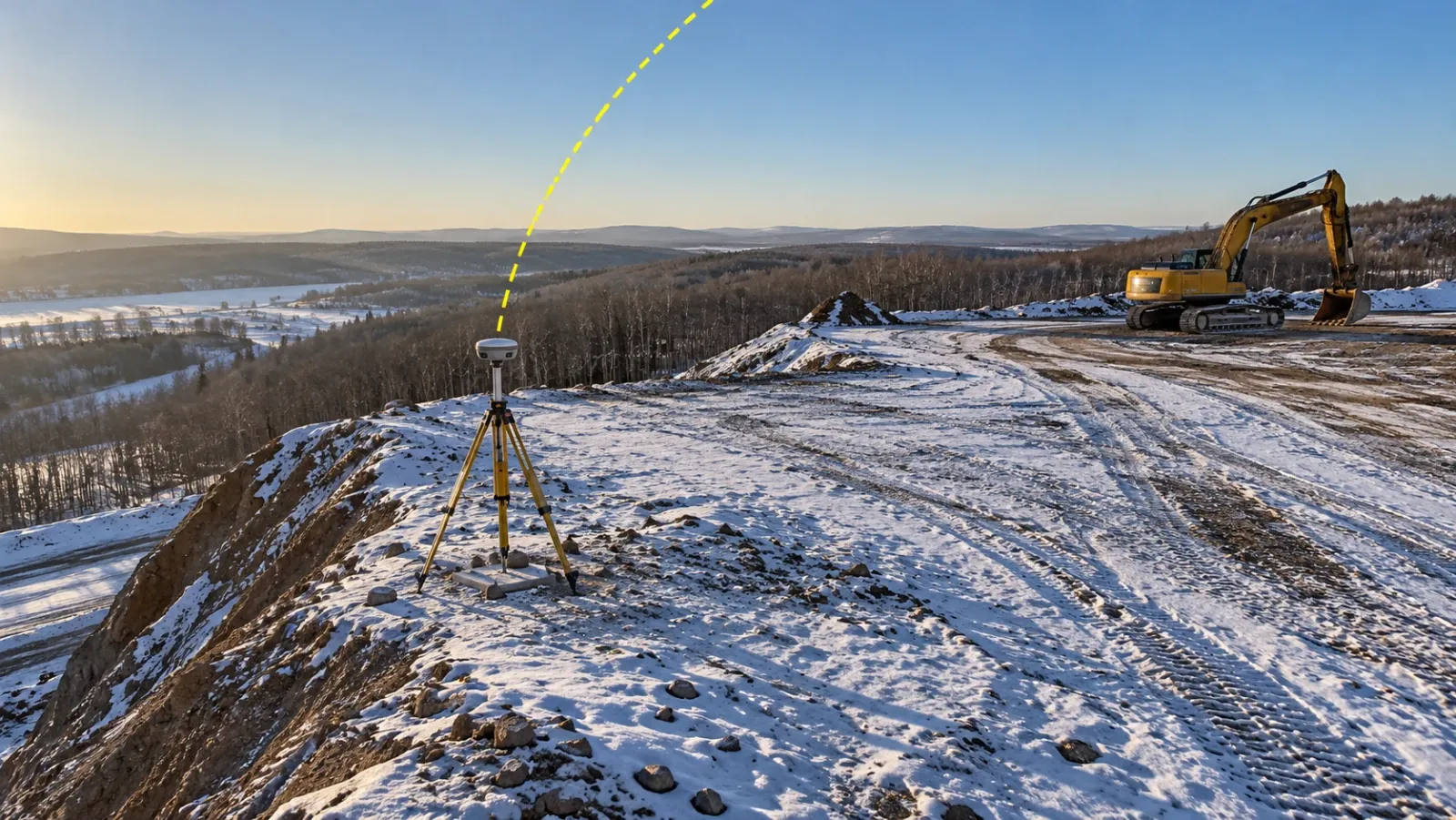
- A local base station. A GNSS receiver on a tripod, set over a surveyed point on or near the site, with a radio that broadcasts its observations to the drone's controller.
- A network service. Permanent reference stations run by a national mapping agency or a commercial provider, delivered over a mobile data connection. The drone or its controller logs in and receives corrections modelled for its location.
The live link
Throughout the flight, corrections must reach the aircraft every second or so. The flight software combines them with the drone's own observations and tags each photo with a corrected position. If the link stops, the drone keeps flying but the tags lose their correction.
Fixed and float
An RTK receiver reports the quality of its solution. Fixed means the carrier-phase ambiguities are resolved and the position is at centimetre level. Float means corrections are arriving but the ambiguities are not resolved, so the position may be off by decimetres. A single or autonomous solution means no correction at all. A good flight log shows the drone in fixed mode for every photo.
How PPK works on a drone
Logging, not streaming
In a PPK workflow the drone records raw satellite observations many times a second for the whole flight, along with a precise timestamp for every shutter release. Nothing has to reach the drone while it flies.
Reference data after landing
The reference observations come from a base receiver that logged on site for the full flight, or from a permanent reference station whose files are downloaded afterwards. Back in the office, processing software combines the two records.
Processing in both directions
Because the whole record is available, the software can run through the data forwards and backwards in time and use the better solution at each moment. Short gaps, such as a few seconds of poor reception during a turn, can often be bridged. The corrected trajectory is then interpolated to the timestamp of each photo, and those positions go into the photogrammetry.
RTK and PPK side by side
| RTK | PPK | |
|---|---|---|
| When the correction is applied | During the flight | After landing, in software |
| Needs a live link | Yes, radio or mobile data, for the whole flight | No |
| Reference source | Local base or network service | Local base log or downloaded reference station files |
| Effect of a short signal drop | Photos taken during the drop lose their correction | Usually bridged by processing the full record |
| Extra office step | None for positions | Trajectory processing before photogrammetry |
| Speed to a usable dataset | Fastest | Slightly slower |
| Typical weak point | Connectivity and range | File management and timing |
| Suits | Open, connected sites with frequent repeat flights | Remote, obstructed or long sites, and flights beyond reliable radio range |
What about accuracy?
When each method works as intended, the corrected camera positions are of similar quality, around one to two centimetres in plan and somewhat more in height. The practical difference is consistency. PPK is less likely to leave a run of poorly positioned photos in the middle of a flight, which is why many survey teams prefer it on sites where they cannot guarantee a steady link. Our guide to drone mapping accuracy explains why accurate camera positions are only one part of an accurate map.
How each method fails
Both methods can produce a dataset that looks perfect and is wrong. Knowing the failure modes is more useful than knowing the specification sheet.
| Failure | Effect with RTK | Effect with PPK | How to catch it |
|---|---|---|---|
| Correction link drops | Some photos float or go uncorrected | Not affected | Check the solution status of every photo in the flight log |
| Base set on an unsurveyed point | Whole dataset shifted, consistently | Whole dataset shifted, consistently | Check points measured independently of the base |
| Base log too short or started late | Not affected | Start or end of flight cannot be corrected | Start logging before take-off, stop after landing |
| Reference station far from site | Slower fixing, weaker heights | Weaker solution, especially in height | Keep the base close; review the processing report |
| Wrong antenna height at the base | Every height off by the same amount | Every height off by the same amount | Measure and record antenna height twice; check points |
| Datum or transformation mismatch | Map in the wrong grid or height system | Same | Agree the project coordinate system before the flight |
| Tall structures or tree cover | Loss of fix near obstructions | Noisier positions near obstructions | Plan lines away from obstructions; review fix status by area |
| Camera timing or lever-arm error | Small, systematic offsets | Small, systematic offsets | Calibrated aircraft; control and check points |
The silent shift
The most expensive failure is a base station set up on a point whose coordinates are not properly known, for example a tripod placed anywhere and left to average its own position for a few minutes. Every correction is then relative to a point that may be a metre or more from where it is believed to be. The map is internally excellent and in the wrong place. Nothing in the flight log reveals it; only an independent measurement on the ground does.
The patchy flight
With RTK, a link that drops partway through can leave one strip of the site less accurate than the rest, often behind a tower crane, a building core or a ridge. Many RTK aircraft also record raw observations, so if a reference was logging at the same time, the flight can be reprocessed as PPK. That is the main reason to keep a base logging even on RTK flights.
Setting up a base station properly
Most RTK and PPK problems start at the tripod. A short routine avoids nearly all of them.
- Occupy a known point. Set the base over a mark whose coordinates are known in the project system, or tie the base position to a network or permanent station before the survey is used.
- Choose open sky. Keep the antenna clear of buildings, trees, vehicles and metal fences that block or reflect signals.
- Level and measure. Level the tripod over the mark and record the antenna height, measured the same way the software expects it.
- Log for longer than you fly. Start logging before the first take-off and stop after the last landing, with a margin at each end.
- Keep it close. The nearer the reference is to the site, the more of the error it shares with the drone and the more reliable the heights.
- Write it down. Point ID, coordinates, antenna height, receiver serial number and start and stop times go in the field notes with photos of the set-up.
On long linear sites, a single base at one end may be too far from the other. Moving the base, using more than one, or switching to a network service partway along keeps the reference close to the aircraft. On highways, pipelines and railways, YelloSKYE's linear corridor mapping uses terrain-following flight paths, and a reference that stays consistent from one end of the asset to the other is part of what makes the stitched result trustworthy.
Where ground control still fits
Corrected positioning cuts down how many targets a survey needs; it does not remove the need to test the result. Corrected camera positions cannot detect a wrong base coordinate, a vertical datum mix-up or a slight bowl in the model caused by camera calibration. A few well-placed control points and a separate set of check points are what prove the survey sits in the right place.
Target numbers and layout are covered in the ground control points guide. The short version for corrected flights: fewer targets than an uncorrected flight would need, spread across the site rather than bunched, and check points in every case where the data will be used for design or quantities.
Which should you use?
The answer depends on the site and on what happens if a flight has to be repeated.
| Situation | Better fit | Reason |
|---|---|---|
| Open site, good mobile coverage, frequent repeat flights | RTK | Fast turnaround, no extra processing step |
| Remote site with no reliable data connection | PPK | No live link needed |
| Dense urban site with tall structures | PPK, or RTK with a logging base as backup | Signal blockage interrupts live corrections |
| Long corridor beyond radio range of one base | PPK or network RTK, with references along the route | Keeps the reference close to the aircraft |
| Flights that are costly to repeat, such as large or hard-to-access areas | PPK, or RTK with raw logging | A recoverable record protects the mobilisation |
| Quick visual record where relative measurement is enough | Either, or uncorrected | Absolute position matters less |
On many projects the honest answer is both. Flying RTK with a base logging raw data, and the drone recording raw observations, gives live positions for a fast turnaround and a PPK record to fall back on.
How YelloSKYE approaches positioning
Survey IQ pairs drones carrying RTK-GNSS with surveyed ground control, and that combination is what lets it reach sub-5 cm accuracy in both plan and height. For pre-acquisition land surveys, nothing else has to be built on the ground beyond those targets, and a single mobilisation returns the terrain, boundary and drainage picture of the parcel.
Consistent positioning matters most when surveys are compared over time. In the earthwork volumetric analytics use case, contractor claims were settled on volumes checked against the grading design, with no billing disputes. That only works when every flight shares one reference; otherwise a shift in positioning between dates would appear in the DEX platform timeline as earth that never moved.
Checklist before a corrected flight
- Confirm the project grid and vertical datum before flying, and configure the drone and base to use them.
- Decide RTK, PPK or both based on connectivity, site length and the cost of a repeat flight.
- Set the base on a known point, level it, and record the antenna height twice.
- Start base logging before take-off and stop it after the last landing.
- Enable raw logging on the drone where it is available, even for RTK flights.
- Review the fix status of every photo before leaving site.
- Lay out a light set of control points and hold back independent check points.
- Report accuracy from the check points, not from the flight log.
Frequently asked questions
What is the main difference between RTK and PPK?
Both correct the drone's satellite positions using data from a base receiver on known ground. RTK applies the correction during the flight through a live radio or internet link, while PPK records raw satellite data on the drone and the base and combines them in software after landing. The physics is the same; the timing and the dependence on a live link are what differ.
Is PPK more accurate than RTK?
When both are working properly, they deliver camera positions of similar quality. PPK tends to give more consistent results on difficult sites because it can process the data forwards and backwards in time and is not affected by a dropped link. RTK can match it on an open site with a steady connection.
Can I use PPK to rescue an RTK flight that lost its connection?
Often, yes. Many RTK-equipped drones also record raw satellite observations during the flight. If a base or reference station was logging at the same time, those records can be post-processed to recover the photos that were tagged without a correction.
Do RTK and PPK drones still need ground control points?
For survey work, usually a few. RTK and PPK fix where each photo was taken, but they cannot reveal a wrong base coordinate, a datum mix-up or a vertical bias in the model. A small number of control points and independent check points confirm the result sits where it should.
What is a CORS or network RTK service?
It is a set of permanent reference receivers, run by a government agency or a private provider, that publish corrections over the internet. A drone or rover can use them instead of a base station set up on site. Coverage, cost and the datum they work in vary from country to country.