
Key takeaways
- The Question: Where do drones actually earn their place on a construction project, and how should a team that has never run a drone programme begin?
- The Answer: Drones serve almost every stage of a project, from checking land before purchase to inspecting the finished building. The firms that get value from them start with one costly decision, fly to a fixed routine and keep every flight in one shared record.
- The YelloSKYE Angle: Survey, progress, inspection and media flights all feed the same DEX platform, so the drone data gathered for one purpose stays useful to every other team on the project.
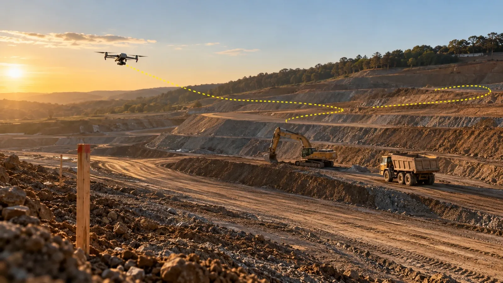
Drones in construction are used to survey and value land, model terrain for design, measure earthworks, record progress, inspect facades and roofs, document handover and produce sales media. The same aircraft can do most of these jobs; what changes is the sensor, the flight plan and the decision the data feeds.
For many teams, the first drone work is measurement, which is why this guide sits under Survey IQ, YelloSKYE's drone land survey solution. But a drone bought or hired for surveys quickly gets asked to do more. This guide maps the uses stage by stage, explains what drones cannot do, and sets out a practical way to start: which use case to pick first, whether to fly in-house or hire a provider, what to budget for and how to judge a pilot. For survey deliverables and accuracy in depth, see our guide to drone surveys in construction.
One aircraft, several instruments
A drone is a platform. What it records depends on what it carries, and each payload suits a different set of construction jobs.
| Payload | What it records | Typical construction jobs |
|---|---|---|
| Mapping camera (RGB) | Overlapping photos processed into orthomosaics, surface models and point clouds | Topographic surveys, earthwork volumes, progress maps, design overlays |
| LiDAR | Laser-measured points, including ground under light vegetation | Terrain under scrub, corridors, dense point clouds for modelling |
| Thermal (radiometric) camera | Surface temperature differences | Roof moisture, insulation gaps, solar panel faults, electrical hotspots |
| Cinema and FPV cameras | Stabilised 4K video and close, fast flythroughs | Investor updates, sales films, milestone records |
| 360° panorama capture | Spherical images from a fixed point in the air | View-from-floor panoramas, site context for buyers |
Two practical points follow. First, one well-planned flight can serve several teams: the orthomosaic that the commercial manager uses for quantities is the same map the project manager shows the owner. Second, the expensive part is rarely the aircraft. It is the processing, the ground control that makes the data measurable, and the people who turn outputs into decisions.
Drone uses by project stage
The table below summarises where drones contribute from the first site visit to years after handover. The sections that follow explain each stage briefly and point to deeper material.
| Stage | Question the team needs answered | Drone output | Main user |
|---|---|---|---|
| Land acquisition | Is this parcel what the seller says it is? | Orthomosaic with boundary overlay, terrain model, drainage view | Developer, acquisition team |
| Design and pre-construction | Does the design fit the real ground? | DTM, contours, point cloud, CAD overlay | Architects, civil engineers |
| Earthworks | How much material has actually moved? | Cut and fill volumes, stockpile volumes | Commercial manager, owner's engineer |
| Structure | Is the work where the programme says it should be? | Dated progress maps, milestone imagery, logistics views | Project manager, PMO |
| Envelope and roof | Are the facade and roof built and sealed correctly? | High-resolution elevations, close-up imagery, thermal maps | QA team, facade consultant |
| Handover and operations | What was delivered, and what condition is it in now? | Final aerial record, recurring inspection imagery | Owner, facility manager |
Land acquisition and feasibility
Before money is committed to land, a drone survey shows usable area, how the legal boundary sits on the ground, low points where water collects and roughly how much earthwork the site will need. In our land acquisition feasibility use case, Survey IQ completed due diligence five times faster than a conventional ground survey, with the dataset ready before the sale agreement was signed.
Design and pre-construction
Designers need a terrain model they can trust. Drone surveys deliver orthomosaics, DTM and DSM surfaces, contours and point clouds, exported as GeoTIFF, DXF, LAS or PDF so they open in CAD and GIS tools. Overlaying the proposed design on the captured ground shows clashes with real levels, access routes and drainage before drawings are issued.
On residential towers, pre-construction is also when sales start. YelloSKYE's view-from-floor work flies a drone to the position and height of future units, taken from the BIM model, so buyers can see the view they are paying for before the building exists.
Earthworks and site preparation
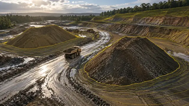
This is where drones usually pay for themselves first. Comparing a surface flown today with the previous survey, or with the design surface, gives cut and fill volumes for the whole site rather than a sample of spot levels. Owners can check contractor quantity claims against measured figures. In our earthwork volumetrics use case, survey turnaround dropped from two weeks to a few hours.
Structure and active construction
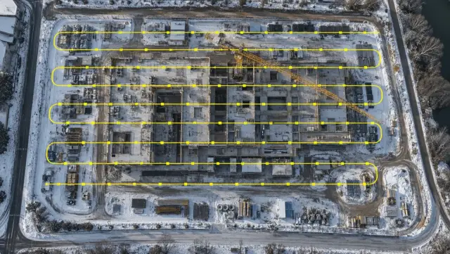
Once buildings rise, the drone becomes a recording tool. A regular flight shows which zones have moved, where materials are stored, how cranes and haul routes are laid out and whether exclusion zones and site perimeters are intact. Aerial progress records are strongest when timed to payment claims, so the evidence covers exactly the period being billed. Our guide to drone construction progress tracking covers flight discipline and cadence in detail, and in our aerial progress capture use case, a weekly flight programme gave site managers back more than 15 hours a week.
Envelope and roof
Facades and roofs are hard to reach and expensive to inspect with cradles, scaffolding or rope access. A drone captures every elevation at close range, and a thermal pass can show moisture or insulation problems that are invisible to the eye. With Inspect IQ, findings are tagged to their position on the captured facade, so the team can read them against the elevation drawing and compare capture dates before anyone books access. Our facade inspection from a desk use case shows that workflow.
Handover and operations
At completion, a final flight records the delivered asset in the same coordinates as every earlier survey. In operation, drones take on recurring inspections of roofs, facades, solar arrays and other structures without shutting anything down. YelloSKYE fuses thermal and RGB imagery into a single inspection report, and our automated asset inspection use case reports inspections running ten times faster.
Linear projects
Roads, railways, pipelines and power lines stretch for kilometres, which makes ground survey slow. Long-range drone configurations map the full corridor and produce progress views by chainage, so work fronts that are far apart can be compared on one map.
What drones do not do
A drone is not the answer to every site question, and a programme that assumes it is will leave gaps.
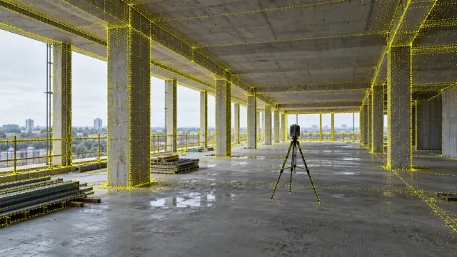
- Interiors and concealed work. Once the roof is on, the drone sees nothing of MEP rough-ins, partitions or finishes. That needs 360° cameras or laser scanning; our reality capture guide compares the methods.
- Legal boundaries. Drone surveys can show where a boundary sits on the ground, but legal demarcation still needs a licensed surveyor in most regions.
- Continuous watching. Flights are periodic. Zones that need constant observation, such as a critical lift or a gate, are better covered by fixed cameras.
- Every day and every site. Wind, rain and airspace restrictions ground flights. Sites close to airports or restricted zones need permissions planned well before mobilisation.
How to start: pick one decision, not one drone
Most stalled drone programmes began with buying an aircraft and then looking for uses. Work the other way round. Find the decision on your project that is most expensive to get wrong, and ask whether aerial data would make it faster or more certain.
| If your work is mostly | Start with | Why it pays back |
|---|---|---|
| Land development, roads, industrial parks | Earthwork volumes against contractor claims | Large sums move on measured quantities every month |
| Buildings with many contractors | A regular progress record timed to payment claims | Fewer disputes, shorter progress meetings |
| Occupied buildings or a facilities portfolio | Facade and roof inspection | Avoids access equipment and shutdowns |
| Residential sales | Aerial and view-from-floor media | Buyers see context and views before completion |
| Land acquisition | Pre-purchase feasibility survey | Surprises found before the money is committed |
In-house, outsourced or hybrid
The next choice is who flies and who processes. Each model has a place.
| Model | What you need to own | Suits | Watch out for |
|---|---|---|---|
| In-house | Aircraft, certified pilots, insurance, processing software, quality checks | Firms flying often on many sites, mainly for visual records | Measured outputs drift without survey control and engineering review |
| Outsourced | Nothing beyond a clear scope | Survey-grade measurement, thermal inspection, laser scanning, occasional needs | Data delivered as files that sit unused on a drive |
| Hybrid | Basic capture kit and trained site staff | Teams wanting frequent capture plus specialist analysis | Unclear ownership of who checks what |
YelloSKYE works in all three ways: our certified pilots or your on-site teams capture the site, and processing, alignment with CAD and BIM, volumes and deviation flags happen on DEX.
Budget for more than the aircraft
When comparing options, cost the whole programme rather than the hardware:
- aircraft and the sensors your use cases need (mapping camera, thermal, LiDAR)
- pilot certification, training and recurrent checks
- insurance and airspace permissions
- ground control equipment or a survey partner to set control
- processing software, storage and computing time
- staff time to review outputs and act on them
The last line is the one most often missed. A flight that nobody reviews before the next payment meeting has cost money and changed nothing.
Running a first programme
A focused 90-day pilot on one site gives enough evidence to decide whether to scale.
- Choose one site and one use case. Pick a project with a decision coming up, such as a large earthwork claim or a milestone payment.
- Record the baseline. Note how long the task takes today, how often numbers are disputed and how long reports take to reach the people who approve them.
- Name the reviewer. One person owns each output and takes it into the meeting where the decision is made.
- Fix the routine. Agree cadence, flight plan and ground control before the first flight, and keep them unchanged so flights can be compared.
- Clear the regulations. Confirm pilot certification, aircraft registration and airspace permissions with the national aviation authority, for example the FAA in the US, the CAA in the UK or the GCAA in the UAE.
- Keep every flight in one place. Store outputs on a shared platform alongside drawings, not in email attachments.
- Review at 90 days. Compare against the baseline and decide whether to extend the use case, add a second one or stop.
Scaling to a portfolio
When a pilot works, resist the urge to let each site run its own version. Use the same capture parameters, output formats and reporting views everywhere, so leadership compares like with like. Our portfolio monitoring use case is a good example: with every site captured the same way, leadership could get through more than ten sites in a 30-minute review.
Checklist before your first flight
| Check | Done when |
|---|---|
| Decision | You can name the decision the first flights will support |
| Use case | One use case on one site, with a baseline measured |
| Delivery model | In-house, outsourced or hybrid agreed, with owners named |
| Compliance | Pilot, aircraft and airspace permissions confirmed |
| Control | Ground control set, so every flight lands in the same coordinates |
| Outputs | Formats agreed with the CAD, GIS and project tools your team uses |
| Home for the data | One shared platform where every flight is dated and comparable |
| Review point | A date set to judge the pilot against the baseline |
Drones have become ordinary equipment on construction sites. The difference between a drone that sits in a cupboard and one that changes how a project runs is rarely the aircraft. It is a clear decision, a steady routine and a record that everyone can use.