Construction Monitoring vs Construction Intelligence: A Guide to ConTech Platforms
By Kush Agarwal, President and CEO, YelloSKYE. Published .
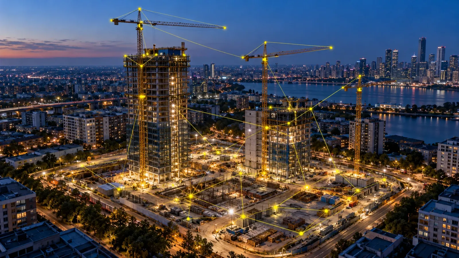
Executive Summary
- The Landscape: Construction technology encompasses multiple connected capabilities, from capturing physical site conditions and managing workflows to analysing project performance and supporting decisions.
- The Distinction: Construction monitoring provides visibility into physical progress. Construction intelligence connects site data with engineering information, analytics, and project context to support informed decisions.
- The Opportunity: Understanding how these technologies work together helps construction organisations build an effective digital ecosystem. YelloSKYE approaches this through multi-sensor reality capture, engineering analytics, and its DEX platform.
Construction Monitoring vs Construction Intelligence: Understanding the ConTech Landscape
Construction monitoring shows what is happening on site. Construction intelligence helps teams interpret that information and use it to guide decisions.
Technology is becoming an increasingly important part of how construction projects are planned, executed, and managed.
From aerial surveys and 360° site walkthroughs to digital twins, connected project management platforms, and AI-assisted analytics, today's construction technology ecosystem offers a wide range of capabilities.
Each serves an important purpose. Some help teams document physical conditions, others organise project workflows, and others connect information with engineering and management decisions.
For developers, EPC contractors, project managers, and engineering teams, understanding these capabilities is an important step in selecting the right technology for their projects.
The distinction between construction monitoring and construction intelligence provides a useful starting point.
Construction monitoring establishes visual and spatial records of project activity. Construction intelligence builds on available information to support progress assessment, engineering analysis, and operational decision-making.
Modern platforms increasingly combine these functions, creating opportunities for more connected project workflows.
01. Four Capabilities Shaping Modern Construction Technology
The ConTech ecosystem can be understood through four complementary capabilities: Visibility, Workflow Management, Intelligence, and Decision Alignment.
These categories provide a practical framework for evaluating construction technology. They describe different functions and outcomes rather than exclusive classifications of individual software platforms.
| Capability | Primary Purpose | The Question It Helps Answer |
|---|---|---|
| Visibility & Reality Capture | Capture and document physical site conditions | What is happening on site? |
| Workflow & Information Management | Coordinate project activities, information, and stakeholders | How do we organise and manage project execution? |
| Construction Intelligence | Analyse available information to support project performance | What does the project information tell us? |
| Decision Alignment | Connect evidence and context across stakeholder decisions | How can teams act using a shared understanding? |
1. Visibility and Reality Capture
Purpose: Making physical site conditions accessible and measurable.
Reality capture technologies document the built environment through aerial imagery, panoramic photography, fixed cameras, laser scanning, and other sensing methods.
These datasets can be processed into orthomosaic maps, 3D models, point clouds, digital twins, and historical visual records.
For project teams, these capabilities provide a consistent way to review construction conditions and understand how a site evolves over time.
Typical applications: Drone surveying, construction progress monitoring, interior documentation, asset inspection, and spatial mapping.
2. Workflow and Information Management
Purpose: Connecting project information, people, and processes.
Construction management software and common data environments support the organisation and coordination of project activities.
They help teams manage drawings, documents, approvals, communication, project records, and other workflows throughout construction.
These capabilities are essential for maintaining structured information and ensuring stakeholders have access to the documents and processes relevant to their responsibilities.
Typical applications: Document management, RFIs, design coordination, approvals, project communication, and construction administration.
3. Construction Intelligence
Purpose: Turning project information into meaningful analysis.
Construction intelligence connects relevant project information with analytical methods, engineering context, and performance indicators.
Depending on the solution, this may include planned-versus-actual progress comparisons, quantity analysis, schedule-related insights, design comparisons, and construction performance reporting.
By providing context around physical conditions and project information, these capabilities support a more informed understanding of execution.
Typical applications: Progress analytics, quantity verification support, project performance tracking, and engineering analysis.
4. Decision Alignment
Purpose: Building a shared reference for project decisions.
Construction projects involve stakeholders with different responsibilities and information requirements.
An engineer may need spatial measurements. A project manager may review milestone progress. A developer may evaluate overall project status.
Decision alignment describes the ability to bring relevant information together so stakeholders can access a consistent reference while working through their respective decisions.
Typical applications: Management reviews, milestone assessment, stakeholder coordination, portfolio reporting, and project planning.
The important distinction: These four capabilities complement one another. A single platform may support several of them, and organisations may combine different systems based on project requirements.
02. Construction Monitoring and Construction Intelligence: What's the Difference?
Construction monitoring and construction intelligence are closely connected capabilities that contribute to effective project management.
The distinction is primarily about how captured information is used.
| Evaluation Area | Construction Monitoring | Construction Intelligence |
|---|---|---|
| Primary focus | Documenting physical conditions and progress | Interpreting project information |
| Typical inputs | Site imagery, videos, sensor captures, visual records | Captured data, schedules, quantities, design information, historical records |
| Typical outputs | Progress imagery, visual comparisons, site documentation | Engineering analytics, progress indicators, contextual reports |
| Historical perspective | Comparing site conditions across dates | Understanding changes in relation to project requirements |
| Decision support | Providing visual and spatial evidence | Connecting evidence with technical and operational context |
These capabilities frequently operate together.
For example, periodic drone captures may document how construction has progressed between two dates.
When the resulting visual records and spatial information are reviewed alongside relevant engineering quantities, project schedules, or design information, they can support a more detailed assessment of execution.
The value comes from maintaining a clear connection between the physical site information and the decisions it supports.
03. Understanding the Different Approaches in the ConTech Market
Construction technology companies have developed solutions around different aspects of the project lifecycle.
Some began with reality capture, others with project management, while others developed specialised construction analytics.
Today, their capabilities increasingly intersect.
Reality Capture and Visual Intelligence
DroneDeploy offers aerial and ground-level reality capture alongside technologies for site documentation, inspection, and AI-assisted analysis.
OpenSpace positions itself as a visual intelligence platform, bringing together reality capture, coordination, and AI-powered insights for construction teams.
These platforms demonstrate how captured visual information can support a broad range of construction activities, from site documentation to progress assessment and collaboration.
Construction Management and Connected Workflows
Procore provides construction management technology that connects project teams, workflows, documents, and operational information.
Autodesk Forma, which incorporates the former Autodesk Construction Cloud, supports connected workflows across design, construction, and the broader built-environment lifecycle. Its capabilities include construction management, data management, and design collaboration.
These platforms demonstrate the value of connecting information and project processes throughout execution.
Construction Monitoring and Intelligence
Buildots positions itself as a construction intelligence platform, using captured site information and analytics to support progress management, operational insights, and project performance.
OpticVyu provides construction monitoring capabilities spanning cameras, drones, 360° imaging, LiDAR, Scan to BIM, and related analytics and reporting workflows.
These offerings demonstrate how physical site information can contribute to structured monitoring, analytical insights, and project decision-making.
What This Means for Construction Organisations
The ConTech market offers multiple approaches to creating value from project information.
Importantly, these companies are not confined to individual categories. Many offer combinations of visual intelligence, project management, analytics, and decision-support capabilities.
For technology buyers, the most useful comparison therefore goes beyond company labels.
It examines how each solution captures or receives information, processes it, connects it with relevant project context, and delivers outputs to the people who need them.
04. YelloSKYE's Approach: Connecting Ground Truth with Construction Intelligence
At YelloSKYE, our approach is built around one central principle:
Reliable construction decisions begin with a clear understanding of physical site reality.
Our technology combines multi-sensor reality capture, spatial data processing, civil and geospatial engineering expertise, and construction analytics.
These capabilities are delivered through specialised solutions and connected through DEX, YelloSKYE's digital execution platform.
The objective is to help stakeholders understand their projects through a shared reference of physical site information and relevant engineering context.
1. Multi-Sensor Ground Truth
Construction projects involve different physical environments, structures, and stages of execution.
YelloSKYE uses multiple reality capture technologies to document these conditions.
- Drones: Aerial imagery, orthomosaic mapping, terrain models, and site-wide visual documentation.
- 360° Cameras: Navigable visual records of interiors and enclosed construction areas.
- Fixed Cameras: Continuous views of selected site areas, recurring photographic records, and time-lapse documentation.
- Laser Scanning: Detailed spatial geometry and point clouds for as-built documentation and engineering workflows.
Each capture method contributes a relevant perspective.
Together, they enable project teams to access visual and spatial information suited to different construction requirements.
2. Engineering Analysis and Interpretation
Capturing site information is one part of YelloSKYE's delivery process.
Our workflows also include geospatial processing, civil engineering analysis, and the creation of technical outputs that support project planning and execution.
Depending on the project scope, these outputs may include:
- Topographic maps and terrain models
- Earthwork and volumetric analysis
- Construction progress records and dashboards
- Digital twins and spatial visualisations
- BIM-related and as-built documentation
- Asset inspection reports and visual records
These outputs connect captured physical information with the technical requirements of construction teams.
This combination of field capture, engineering analysis, and digital delivery is central to YelloSKYE's approach.
3. Five Specialised IQ Solutions
YelloSKYE delivers these capabilities through five solution families, each addressing different requirements within the built environment.
| Solution | Primary Application | Value to Project Teams |
|---|---|---|
| Survey IQ | Land surveying and spatial analysis | Supports terrain understanding, quantities, and planning |
| Construct IQ | Construction progress monitoring | Provides physical progress records and project analytics |
| BIM IQ | Scan to BIM and as-built documentation | Connects captured conditions with engineering models |
| Inspect IQ | Asset inspection | Supports visual condition assessment and maintenance planning |
| Studio IQ | Visual documentation and communication | Creates visual experiences for project stakeholders |
These solutions serve different information needs across planning, construction, marketing, handover, and asset operations.
4. DEX: A Shared Environment for Project Intelligence
At the centre of YelloSKYE's technology ecosystem is DEX.
DEX brings together available project visuals, spatial information, digital twins, analytics, and historical records through a cloud-based platform.
For different stakeholders, this provides different forms of value.
Project managers and PMOs can review relevant construction progress records, site visuals, and reporting information.
Engineering and planning teams can access spatial information and technical outputs relevant to their workflows.
Developers and leadership teams can review project-level information and available dashboards to support management discussions.
DEX provides a shared environment through which these stakeholders can access information relevant to their roles.
5. Connected Information Across the Project Lifecycle
YelloSKYE's solutions address several stages of the built environment, including land acquisition, design and planning, construction, handover, and asset management.
This allows organisations to apply relevant reality capture and analysis capabilities as their project requirements evolve.
The specific technologies, data outputs, and platform workflows depend on each engagement.
Our approach is to connect physical reality, engineering information, and project stakeholders through a consistent digital reference.
05. From Site Capture to Project Decisions: An Example Workflow
Consider a developer managing multiple residential or commercial construction projects.
The monthly management review involves project managers, engineering teams, and senior leadership.
Each stakeholder needs relevant information about physical execution and project progress.
The following example illustrates how connected reality capture and construction intelligence can support this process.
Step 1: Capture Site Conditions
Periodic drone surveys document the construction site from relevant aerial perspectives.
Interior 360° capture or fixed cameras may supplement the aerial records, depending on project requirements.
Step 2: Process the Captured Information
The available imagery and spatial data are processed into relevant outputs, such as orthomosaic maps, 3D representations, and structured progress records.
Engineering teams can use these outputs to review physical site conditions.
Step 3: Analyse Relevant Project Information
Project teams review the captured records alongside available schedules, quantities, milestones, or design information.
This provides additional technical and operational context for assessing construction activity.
Step 4: Access the Information Through DEX
Relevant visuals, analytics, and historical records are made available through DEX according to the configured project workflow.
Different stakeholders can access information relevant to their responsibilities.
Step 5: Support the Management Review
Project managers, engineering teams, and leadership use the available records to review progress, discuss priorities, and coordinate subsequent activities.
This workflow illustrates how site capture, engineering analysis, and platform-based access can contribute to a shared understanding of project conditions.
Actual outputs and workflows depend on the project scope, data availability, reporting frequency, and implemented capabilities.
06. How to Evaluate Construction Technology Platforms
Choosing the right ConTech solution begins with understanding the information your organisation needs and how that information will support project execution.
The following framework can help construction technology buyers evaluate different platforms.
| Evaluation Criteria | Questions to Ask |
|---|---|
| 1. Reality Capture | Which sensors and capture methods does the solution support? |
| 2. Data Quality | How are measurements, site information, and technical outputs validated? |
| 3. Engineering Intelligence | Which spatial, quantity, design, and construction analytics are available? |
| 4. Progress Monitoring | How can teams review physical progress and historical changes? |
| 5. Information Management | How are project records organised, accessed, and maintained? |
| 6. Integrations | How can the solution work with existing project tools and information systems? |
| 7. Deployment & Support | What capture, processing, reporting, and implementation services are included? |
| 8. Decision Workflows | How does the solution help different stakeholders access and use relevant information? |
A Practical Evaluation Exercise
One effective way to assess a platform is to request a demonstration based on a realistic project workflow.
For example:
"Show us how your platform would support a monthly construction progress review across three active sites."
During the demonstration, evaluate five elements:
- What information is captured or imported?
- How is the information processed and validated?
- What analytics and technical outputs are available?
- How do project teams and leadership access the information?
- How does the workflow support the management review?
This provides a more complete understanding of how the technology would operate within your organisation.
07. Building a Connected Construction Technology Ecosystem
Modern construction technology offers several complementary capabilities.
Reality capture documents physical environments. Construction management systems organise information and workflows. Construction intelligence connects relevant project information with analysis. Decision alignment helps stakeholders work from a shared understanding.
The most effective combination depends on an organisation's projects, existing technology, and operational requirements.
At YelloSKYE, our role is to bring physical site information and engineering context into a connected intelligence environment.
Through multi-sensor reality capture, specialised IQ solutions, engineering analysis, and DEX, we help project teams develop a clearer understanding of their physical assets and construction progress.
Our focus is built around four principles:
- Clarity: Making physical site information understandable and dependable.
- Shared Reality: Creating a consistent reference for project stakeholders.
- Intelligence: Connecting captured data with meaningful engineering and project context.
- Decision Confidence: Supporting informed decisions through accessible project evidence.
From visibility to understanding. From captured data to connected intelligence. From shared information to confident decisions.
Explore Construction Intelligence with YelloSKYE
Discover how YelloSKYE connects reality capture, digital twins, engineering analytics, and project information through DEX.
Whether you're managing a single construction site or a portfolio of projects, explore how a shared view of physical reality can support your teams.
Discover Construct IQ for Construction Monitoring →
Explore Survey IQ for Spatial Intelligence →
Frequently asked questions
What is the difference between construction monitoring and construction intelligence?
Construction monitoring focuses on capturing and documenting physical site conditions and progress. Construction intelligence connects site information with project data, engineering analysis and performance metrics to support decisions. Modern technology platforms often combine both capabilities.
How is construction intelligence different from construction management software?
Construction management software supports project workflows such as document management, approvals, coordination and cost control. Construction intelligence focuses on interpreting project information, including physical site data, to support planning and execution decisions. These capabilities can operate together within connected construction technology environments.
What role does reality capture play in construction intelligence?
Reality capture uses technologies such as drones, 360-degree cameras, fixed cameras and laser scanners to document physical site conditions. Captured data can be processed into maps, point clouds, digital twins and visual records that provide context for construction monitoring, engineering analysis and project decisions.
What makes YelloSKYE's approach to construction intelligence different?
YelloSKYE combines multi-sensor reality capture, geospatial and civil engineering analysis, specialised construction solutions and its DEX digital execution platform. The approach connects physical site information with analytics and shared project records to support developers, engineering teams, PMOs and other stakeholders throughout the construction lifecycle.